Transport Functions
Multimodal
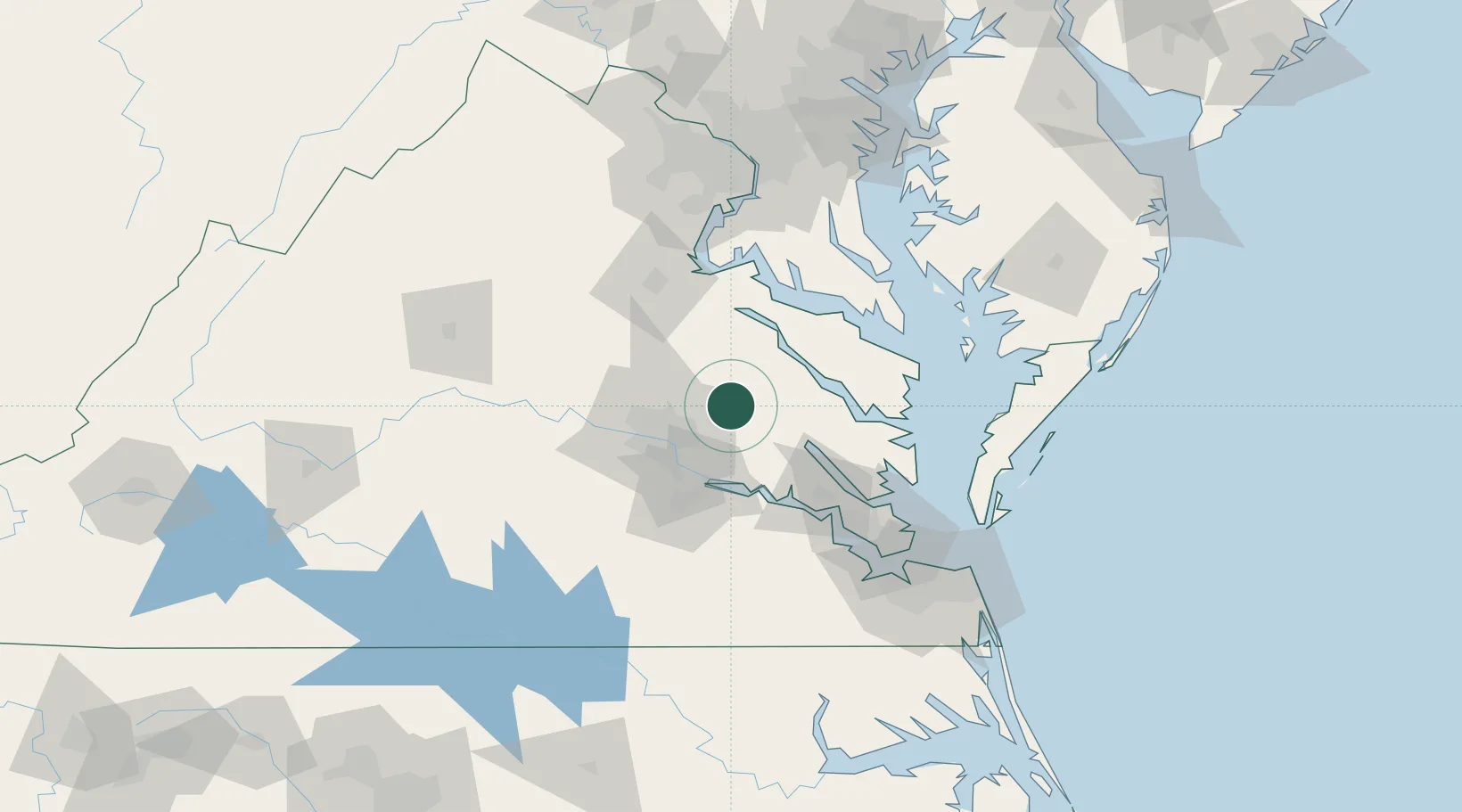
Hub Profile
Place type
Populated place
Region
Virginia
Time zone
America/New_York
Elevation
25 m
Location
Nearby Logistics Neighbours
Cities
- 1Walkerton12 km
- 2King William13 km
- 3Charles City27 km
- 4Richmond34 km
- 5Champlain36 km
Ports
- 1Richmond30 km
- 2West Point36 km
- 3Fredericksburg72 km
- 4Piney Point72 km
- 5Yorktown77 km
Airports
Trade Zones
DatabookThe Record of Consolidated Knowledge
United States beyond logistics?