Medium airport · United States

Newport News Williamsburg International AirportKPHF
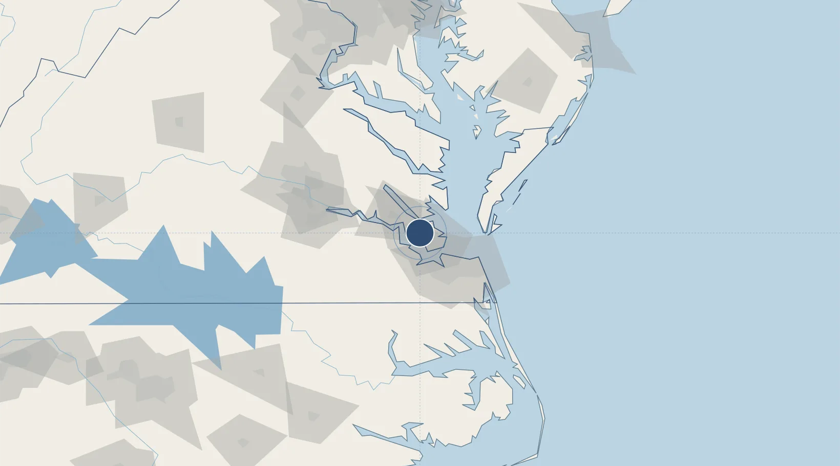
37.1319°, -76.4930°
8,003 ft
Longest runway
2
Runways
42 ft
Elevation

Runway & Layout

Newport News Williamsburg International Airport runway & taxiway layout
Runway & taxiway layout — OpenStreetMap (ODbL) / OurAirports

Radio Frequencies

ATIS
128.65 MHz
TWR
124.9 MHz
GND
121.9 MHz
CLD
121.65 MHz
CLNC DEL
APP
125.7 MHz
NORFOLK APP
DEP
124.9 MHz
NORFOLK DEP
CTAF
118.7 MHz
RDO
122.65 MHz
LEESBURG RDO
UNIC
122.95 MHz
UNICOM
OurAirports

Navaids

PJS NDB Henry 375 kHz
OurAirports

Runways · 2

RunwayDimensions SurfaceTrue headingLit
07/25 8,003 × 150ft Concrete 058°
02/20 6,526 × 150ft Concrete 013°
OurAirports

Airport Specifications

IATA code
PHF
OurAirports
ICAO code
KPHF
OurAirports
Airport class
Medium airport
OurAirports
Scheduled service
Yes
OurAirports
Runway surface
Concrete
OurAirports
Served city
Newport News
OurAirports

Location

Location of KPHF
Natural Earth 10m (public domain) · Virginia · KPHF · 37.13, -76.49GoogleOSMYandex

Nearby Logistics Neighbours

Airports
  1. 1Felker Army Air Field10 km
  2. 2Langley Air Force Base13 km
  3. 3Norfolk Naval Station (Chambers Field)28 km
  4. 4Norfolk International Airport37 km
  5. 5Oceana Naval Air Station54 km
Nearest neighbours — logibook spatial index (haversine) over the source coordinates
Cities
  1. 1Newmarket15 km
  2. 2Newport News17 km
  3. 3Hampton Roads Pt22 km
  4. 4Carrollton23 km
  5. 5Gloucester30 km
Nearest neighbours — logibook spatial index (haversine) over the source coordinates
Ports
  1. 1Yorktown11 km
  2. 2Newport News19 km
  3. 3Norfolk36 km
  4. 4Portsmouth39 km
  5. 5Cape Charles45 km
Nearest neighbours — logibook spatial index (haversine) over the source coordinates
Trade Zones
  1. 1FTZ No. 020 Suffolk25 km
  2. 2FTZ No. 207 Richmond104 km
  3. 3FTZ No. 063 PrInce Georges County198 km
  4. 4FTZ No. 185 Culpeper County206 km
  5. 5FTZ No. 137 Washington Dulles International Airport220 km
Nearest neighbours — logibook spatial index (haversine) over the source coordinates
DatabookThe Record of Consolidated Knowledge
United States beyond logistics?
Browse databook

All Sources

AirportsOurAirports
Public domain
Portsthe NGA World Port Index
Public domain (US gov)
LocationsUN/LOCODE
UN/LOCODE — free
Trade Zonesthe World Bank SEZ database
CC BY 4.0
Trade ZonesOpen Zone Map
CC BY
InfrastructureOpenStreetMap
ODbL 1.0
← United States airports