UN/LOCODE hub · United States
USZZY
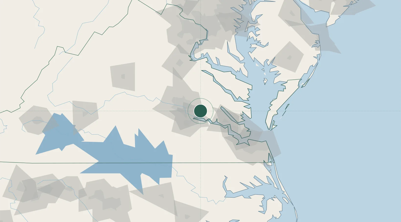
Charles City
37.4547°, -77.1475°
133
Population
1
Transport functions
Transport Functions
Multimodal
Hub Profile
Place type
Provincial seat
Region
Virginia
Population
133
Time zone
America/New_York
Elevation
8 m
Logistics facilities
1
Location
Nearby Logistics Neighbours
Cities
- 1Richmond26 km
- 2Claremont26 km
- 3Manquin27 km
- 4King William29 km
- 5Walkerton31 km
Ports
- 1Richmond25 km
- 2West Point32 km
- 3Yorktown62 km
- 4Newport News83 km
- 5Piney Point93 km
Airports
Trade Zones
DatabookThe Record of Consolidated Knowledge
United States beyond logistics?