UN/LOCODE hub · United States
USKWM
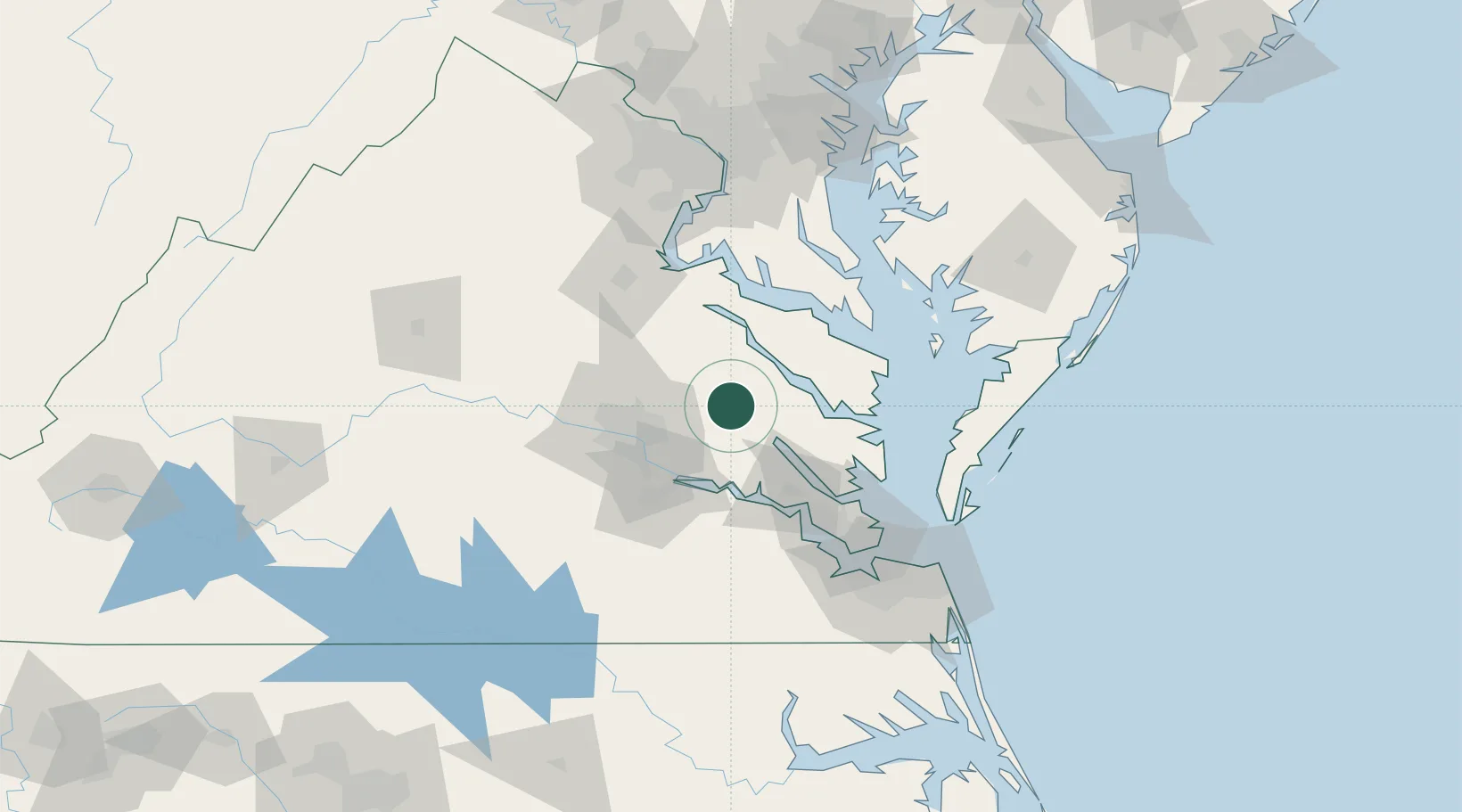
King William
37.6833°, -77.0000°
252
Population
2
Transport functions
Transport Functions
Port
Road
Hub Profile
Place type
Provincial seat
Region
Virginia
Population
252
Time zone
America/New_York
Elevation
43 m
Location
Nearby Logistics Neighbours
Cities
- 1Walkerton4 km
- 2Manquin13 km
- 3Jamaica28 km
- 4Charles City29 km
- 5Champlain35 km
Ports
- 1West Point24 km
- 2Richmond40 km
- 3Piney Point65 km
- 4Yorktown67 km
- 5Fredericksburg79 km
Airports
Trade Zones
DatabookThe Record of Consolidated Knowledge
United States beyond logistics?