Medium airport · United States

Langley Air Force BaseKLFI
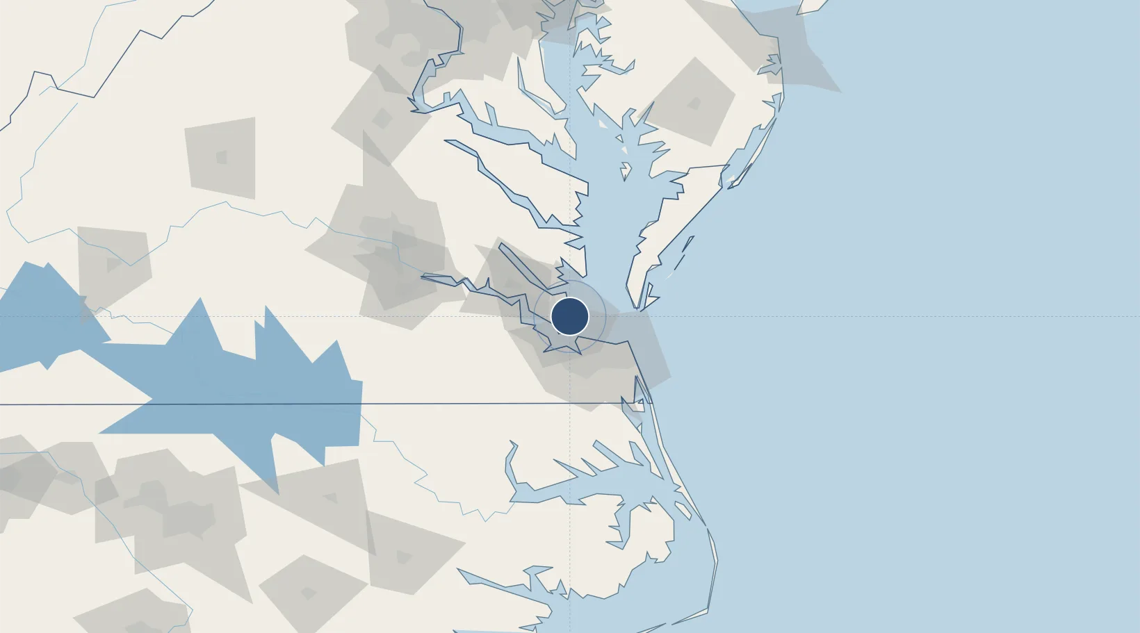
37.0829°, -76.3605°
10,002 ft
Longest runway
1
Runways
11 ft
Elevation

Runway & Layout

Langley Air Force Base runway & taxiway layout
Runway & taxiway layout — OpenStreetMap (ODbL) / OurAirports

Radio Frequencies

ATIS
27.01 MHz
TWR
125 MHz
GND
121.7 MHz
CLD
118.85 MHz
CLNC DEL
A/D
124.9 MHz
NORFOLK APP/DEP
OPS
123.375 MHz
NASA OPS
PMSV
23.98 MHz
PMSV METRO
POST
25.125 MHz
CNSOLIDATED CMD POST
PTD
141.75 MHz
OurAirports

Navaids

LFI TACAN Langley 112.30 MHz
OurAirports

Runways · 1

RunwayDimensions SurfaceTrue headingLit
08/26 10,002 × 150ft Concrete 068°
OurAirports

Airport Specifications

IATA code
LFI
OurAirports
ICAO code
KLFI
OurAirports
Airport class
Medium airport
OurAirports
Scheduled service
No
OurAirports
Runway surface
Concrete
OurAirports
Served city
Hampton
OurAirports

Location

Location of KLFI
Natural Earth 10m (public domain) · Virginia · KLFI · 37.08, -76.36GoogleOSMYandex

Nearby Logistics Neighbours

Airports
  1. 1Newport News Williamsburg International Airport13 km
  2. 2Norfolk Naval Station (Chambers Field)17 km
  3. 3Felker Army Air Field23 km
  4. 4Norfolk International Airport25 km
  5. 5Oceana Naval Air Station41 km
Nearest neighbours — logibook spatial index (haversine) over the source coordinates
Cities
  1. 1Newmarket9 km
  2. 2Newport News12 km
  3. 3Hampton Roads Pt13 km
  4. 4Carrollton24 km
  5. 5Norfolk25 km
Nearest neighbours — logibook spatial index (haversine) over the source coordinates
Ports
  1. 1Newport News15 km
  2. 2Yorktown21 km
  3. 3Norfolk26 km
  4. 4Portsmouth30 km
  5. 5Cape Charles37 km
Nearest neighbours — logibook spatial index (haversine) over the source coordinates
Trade Zones
  1. 1FTZ No. 020 Suffolk27 km
  2. 2FTZ No. 207 Richmond117 km
  3. 3FTZ No. 063 PrInce Georges County207 km
  4. 4FTZ No. 185 Culpeper County218 km
  5. 5FTZ No. 137 Washington Dulles International Airport229 km
Nearest neighbours — logibook spatial index (haversine) over the source coordinates
DatabookThe Record of Consolidated Knowledge
United States beyond logistics?
Browse databook

All Sources

AirportsOurAirports
Public domain
Portsthe NGA World Port Index
Public domain (US gov)
LocationsUN/LOCODE
UN/LOCODE — free
Trade Zonesthe World Bank SEZ database
CC BY 4.0
Trade ZonesOpen Zone Map
CC BY
InfrastructureOpenStreetMap
ODbL 1.0
← United States airports