Channel & Berth Profile
Pilotage, Tugs & Services
Pilotage compulsoryYES
Tug assistanceYES
Salvage tugsYES
Shore powerYES
Potable waterYES
Diesel bunkersYES
MedicalYES
Garbage disposalYES
Facilities & Capabilities
Container—
Ro-Ro—
Liquid bulk—
Dry bulk—
Oil terminal—
Break bulk—
Dry dockNO
RepairsNO
BunkeringYES
Rail linkYES
Dangerous cargo—
ISPS security—
Harbour Specifications
Harbour size
Medium
Harbour type
Coastal (Natural)
Shelter
Good
Water body
North Atlantic Ocean
Tidal range
0.9 m
Overhead limit
No
Pilotage
Yes
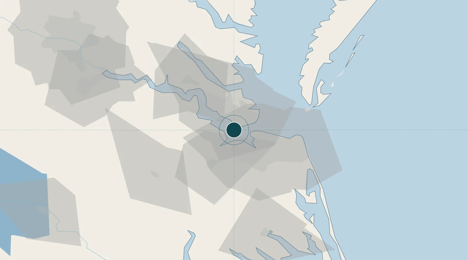
Location
Nearby Logistics Neighbours
Ports
- 1Norfolk18 km
- 2Portsmouth21 km
- 3Yorktown30 km
- 4Cape Charles50 km
- 5West Point71 km
Cities
- 1Newmarket6 km
- 2Hampton Roads Pt7 km
- 3Carrollton11 km
- 4Norfolk13 km
- 5Portsmouth15 km
Airports
Trade Zones
- 1FTZ No. 020 Suffolk14 km
- 2FTZ No. 207 Richmond118 km
- 3FTZ No. 063 PrInce Georges County217 km
- 4FTZ No. 185 Culpeper County223 km
- 5FTZ No. 214 Lenoir County235 km
DatabookThe Record of Consolidated Knowledge
United States beyond logistics?