Channel & Berth Profile
Pilotage, Tugs & Services
Pilotage availableYES
Facilities & Capabilities
Container—
Ro-Ro—
Liquid bulk—
Dry bulk—
Oil terminal—
Break bulk—
Dry dock—
Repairs—
Bunkering—
Rail link—
Dangerous cargo—
ISPS security—
Harbour Specifications
Harbour size
Very Small
Harbour type
Coastal (Natural)
Shelter
Fair
Water body
Bristol Bay; Bering Sea; North Pacific Ocean
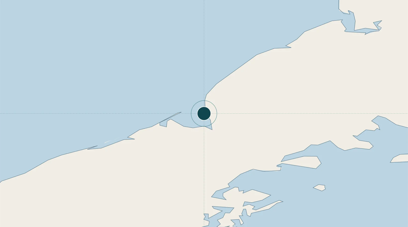
Location
Nearby Logistics Neighbours
Ports
- 1Chignik67 km
- 2Pilot Point101 km
- 3Ugashik106 km
- 4Ivanof Bay129 km
- 5Port Moller152 km
Cities
- 1Kaguyak299 km
- 2Lenard Harbour303 km
- 3Afognak376 km
- 4Jakolof Bay508 km
- 5Dutch Harbor596 km
Airports
- 1Port Heiden Airport9 km
- 2Chignik Airport67 km
- 3Chignik Lake Airport70 km
- 4Pilot Point Airport103 km
- 5Perryville Airport112 km
Trade Zones
- 1FTZ No. 232 Kodiak310 km
- 2FTZ No. 160 Anchorage698 km
- 3FTZ No. 108 Valdez848 km
- 4FTZ No. 195 Fairbanks1063 km
- 5PrInce George Logistics Park2267 km
DatabookThe Record of Consolidated Knowledge
United States beyond logistics?