Medium airport · United States
Port Heiden AirportPAPH
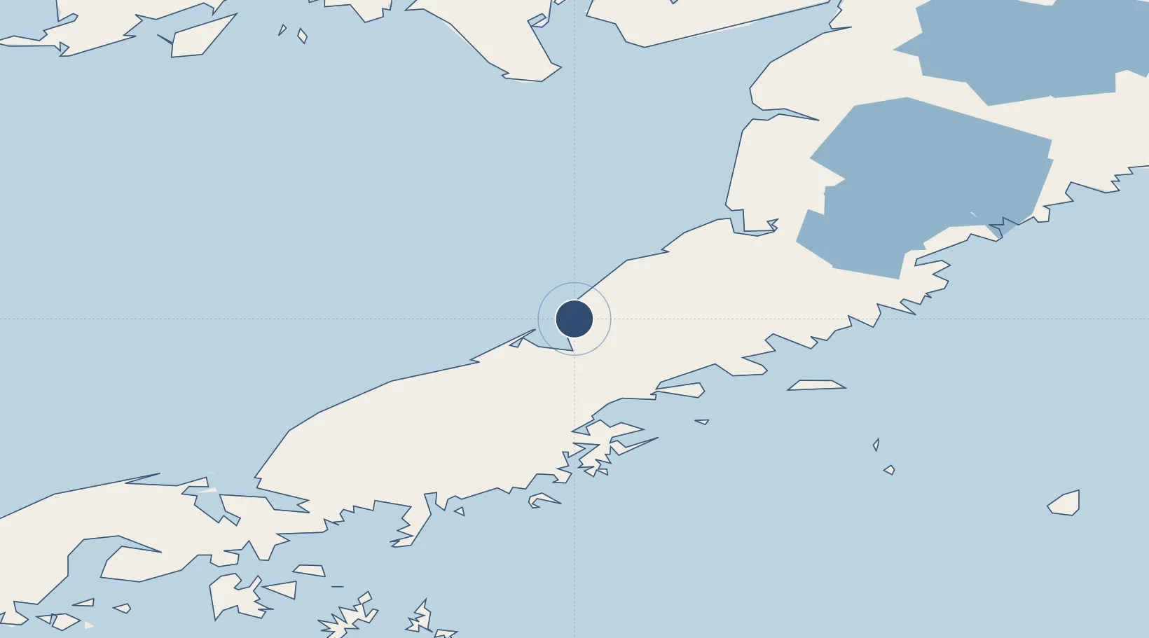
56.9579°, -158.6302°
5,000 ft
Longest runway
2
Runways
95 ft
Elevation
Runway & Layout

Radio Frequencies
AWOS
135.4 MHz
AWOS 3
CTAF
122.8 MHz
CNTR
132.9 MHz
ANCHORAGE CNTR
FSS
122 MHz
KENAI RDO
Runways · 2
| Runway | Dimensions | Surface | True heading | Lit |
|---|---|---|---|---|
| 05/23 | 5,000 × 100ft | Gravel | 070° | ✓ |
| 13/31 | 4,000 × 100ft | Gravel | 147° | ✓ |
Airport Specifications
IATA code
PTH
ICAO code
PAPH
Airport class
Medium airport
Scheduled service
Yes
Runway surface
Gravel
Served city
Port Heiden
Location
Nearby Logistics Neighbours
Airports
- 1Chignik Airport74 km
- 2Chignik Lake Airport79 km
- 3Pilot Point Airport94 km
- 4Perryville Airport121 km
- 5Egegik Airport156 km
Cities
- 1Kaguyak294 km
- 2Lenard Harbour312 km
- 3Afognak369 km
- 4Jakolof Bay500 km
- 5Dutch Harbor604 km
Ports
- 1Port Heiden9 km
- 2Chignik75 km
- 3Pilot Point92 km
- 4Ugashik97 km
- 5Ivanof Bay139 km
Trade Zones
- 1FTZ No. 232 Kodiak304 km
- 2FTZ No. 160 Anchorage689 km
- 3FTZ No. 108 Valdez839 km
- 4FTZ No. 195 Fairbanks1054 km
- 5PrInce George Logistics Park2262 km
DatabookThe Record of Consolidated Knowledge
United States beyond logistics?