Small airport · United States
Chignik Lake AirportA79
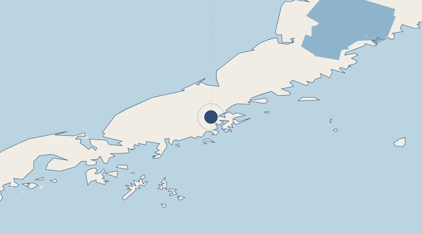
56.2550°, -158.7750°
2,800 ft
Longest runway
1
Runways
50 ft
Elevation
Runway & Layout

Runways · 1
| Runway | Dimensions | Surface | True heading | Lit |
|---|---|---|---|---|
| 08/26 | 2,800 × 60ft | GRVL-F | — | — |
Airport Specifications
IATA code
KCQ
ICAO code
A79
Airport class
Small airport
Scheduled service
Yes
Runway surface
GRVL-F
Served city
Chignik Lake
Location
Nearby Logistics Neighbours
Airports
- 1Chignik Airport26 km
- 2Perryville Airport46 km
- 3Port Heiden Airport79 km
- 4Nelson Lagoon Airport150 km
- 5Sand Point Airport151 km
Cities
- 1Lenard Harbour261 km
- 2Kaguyak313 km
- 3Afognak411 km
- 4Jakolof Bay557 km
- 5Dutch Harbor559 km
Ports
- 1Chignik24 km
- 2Ivanof Bay66 km
- 3Port Heiden70 km
- 4Port Moller115 km
- 5Sand Point150 km
Trade Zones
- 1FTZ No. 232 Kodiak338 km
- 2FTZ No. 160 Anchorage754 km
- 3FTZ No. 108 Valdez897 km
- 4FTZ No. 195 Fairbanks1127 km
- 5PrInce George Logistics Park2281 km
DatabookThe Record of Consolidated Knowledge
United States beyond logistics?