Small airport · United States
Pilot Point AirportPAPN
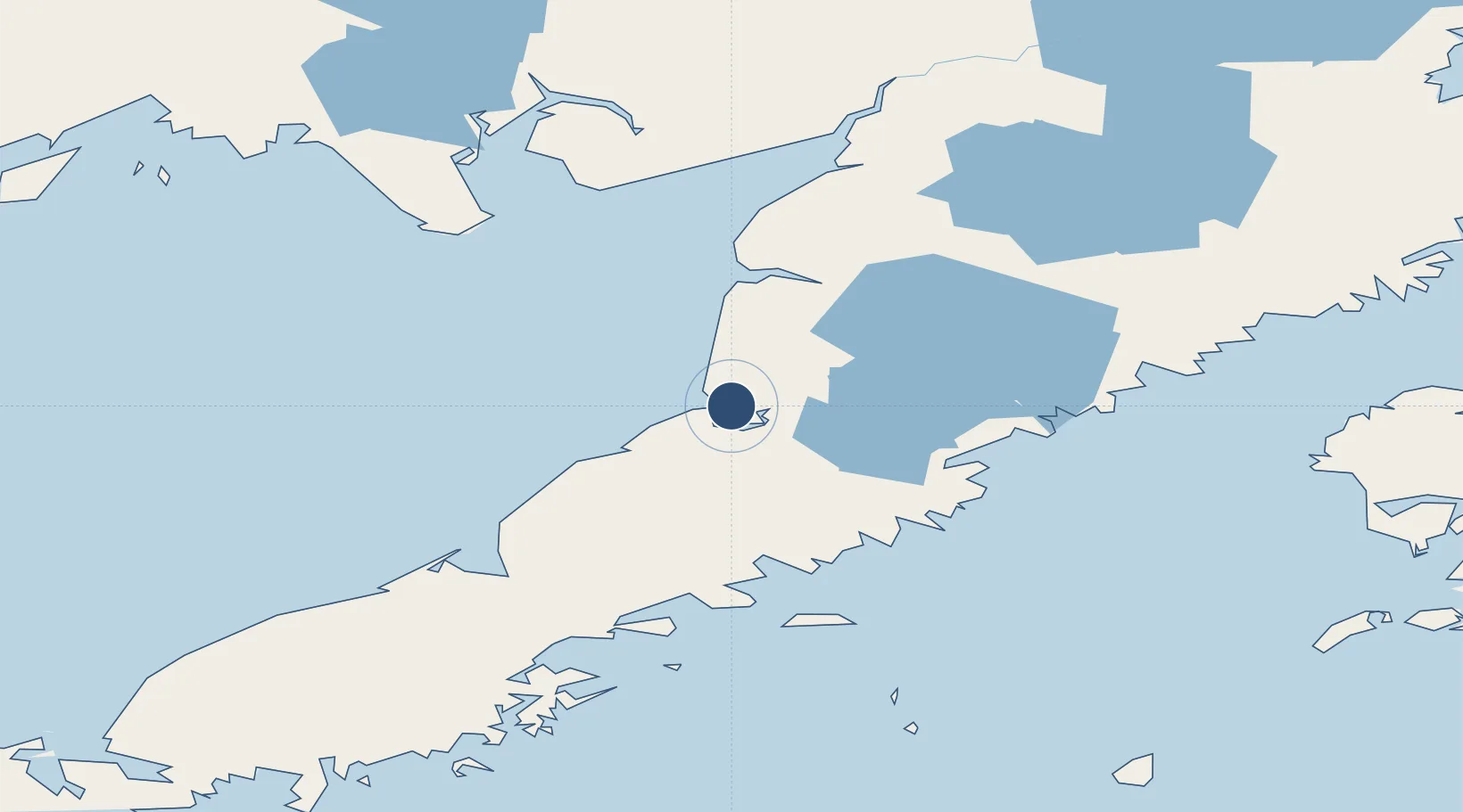
57.5804°, -157.5720°
3,280 ft
Longest runway
1
Runways
57 ft
Elevation
Runway & Layout

Runways · 1
| Runway | Dimensions | Surface | True heading | Lit |
|---|---|---|---|---|
| 07/25 | 3,280 × 75ft | GRVL-G | 090° | — |
Airport Specifications
IATA code
PIP
ICAO code
PAPN
Airport class
Small airport
Scheduled service
Yes
Runway surface
GRVL-G
Served city
Pilot Point
Location
Nearby Logistics Neighbours
Airports
- 1Egegik Airport68 km
- 2Port Heiden Airport94 km
- 3South Naknek Number 2 Airport129 km
- 4King Salmon Airport133 km
- 5Chignik Airport149 km
Cities
- 1Kaguyak241 km
- 2Afognak289 km
- 3Lenard Harbour405 km
- 4Jakolof Bay408 km
- 5Susitna593 km
Ports
- 1Pilot Point2 km
- 2Ugashik11 km
- 3Egegik70 km
- 4Port Heiden103 km
- 5Naknek131 km
Trade Zones
- 1FTZ No. 232 Kodiak233 km
- 2FTZ No. 160 Anchorage595 km
- 3FTZ No. 108 Valdez747 km
- 4FTZ No. 195 Fairbanks963 km
- 5PrInce George Logistics Park2192 km
DatabookThe Record of Consolidated Knowledge
United States beyond logistics?