Channel & Berth Profile
Pilotage, Tugs & Services
Shore powerYES
Potable waterYES
Diesel bunkersNO
MedicalNO
Garbage disposalNO
Facilities & Capabilities
Container—
Ro-Ro—
Liquid bulk—
Dry bulk—
Oil terminal—
Break bulk—
Dry dock—
Repairs—
BunkeringNO
Rail link—
Dangerous cargo—
ISPS security—
Harbour Specifications
Harbour size
Very Small
Harbour type
Coastal (Natural)
Shelter
Fair
Water body
Bristol Bay; Bering Sea; North Pacific Ocean
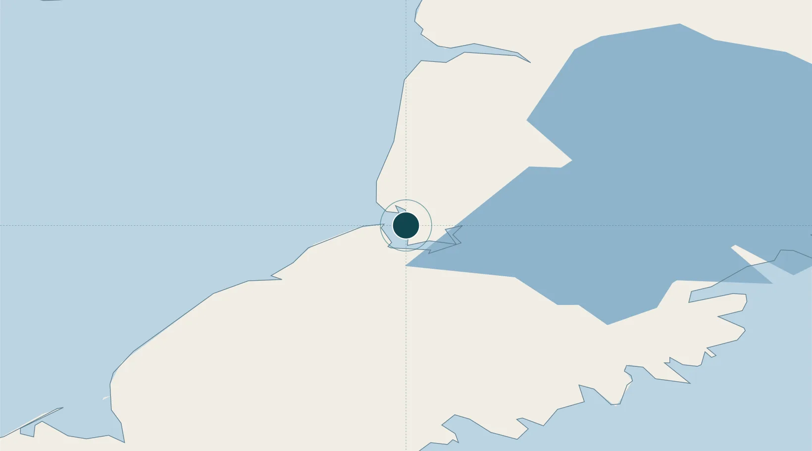
Location
Nearby Logistics Neighbours
Ports
- 1Ugashik12 km
- 2Egegik72 km
- 3Port Heiden101 km
- 4Naknek132 km
- 5Chignik149 km
Cities
- 1Kaguyak243 km
- 2Afognak291 km
- 3Lenard Harbour403 km
- 4Jakolof Bay411 km
- 5Susitna595 km
Airports
- 1Pilot Point Airport2 km
- 2Egegik Airport70 km
- 3Port Heiden Airport92 km
- 4South Naknek Number 2 Airport131 km
- 5King Salmon Airport136 km
Trade Zones
- 1FTZ No. 232 Kodiak235 km
- 2FTZ No. 160 Anchorage597 km
- 3FTZ No. 108 Valdez749 km
- 4FTZ No. 195 Fairbanks965 km
- 5PrInce George Logistics Park2193 km
DatabookThe Record of Consolidated Knowledge
United States beyond logistics?