Channel & Berth Profile
Pilotage, Tugs & Services
Pilotage availableYES
Potable waterYES
Facilities & Capabilities
Container—
Ro-Ro—
Liquid bulk—
Dry bulk—
Oil terminal—
Break bulk—
Dry dock—
RepairsNO
Bunkering—
Rail link—
Dangerous cargo—
ISPS security—
Harbour Specifications
Harbour size
Very Small
Harbour type
River (Natural)
Shelter
Fair
Water body
Bristol Bay; Bering Sea; North Pacific Ocean
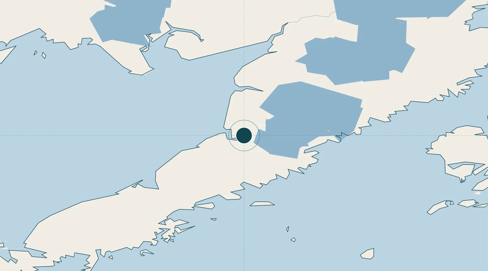
Location
Nearby Logistics Neighbours
Ports
- 1Pilot Point12 km
- 2Egegik74 km
- 3Port Heiden106 km
- 4Naknek134 km
- 5Chignik150 km
Cities
- 1Kaguyak231 km
- 2Afognak281 km
- 3Jakolof Bay404 km
- 4Lenard Harbour409 km
- 5Susitna591 km
Airports
- 1Pilot Point Airport11 km
- 2Egegik Airport72 km
- 3Port Heiden Airport97 km
- 4South Naknek Number 2 Airport132 km
- 5King Salmon Airport135 km
Trade Zones
- 1FTZ No. 232 Kodiak224 km
- 2FTZ No. 160 Anchorage592 km
- 3FTZ No. 108 Valdez743 km
- 4FTZ No. 195 Fairbanks963 km
- 5PrInce George Logistics Park2183 km
DatabookThe Record of Consolidated Knowledge
United States beyond logistics?