Small airport · United States
Chignik AirportPAJC
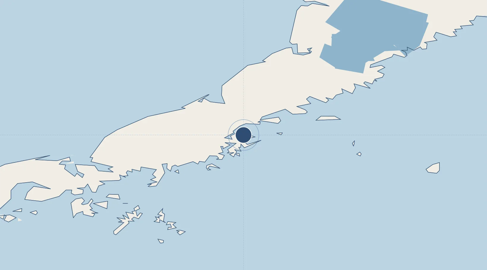
56.3115°, -158.3730°
2,600 ft
Longest runway
1
Runways
18 ft
Elevation
Runway & Layout

Runways · 1
| Runway | Dimensions | Surface | True heading | Lit |
|---|---|---|---|---|
| 02/20 | 2,600 × 60ft | GRVL-G | — | — |
Airport Specifications
IATA code
KCG
ICAO code
PAJC
Airport class
Small airport
Scheduled service
Yes
Runway surface
GRVL-G
Served city
Chignik
Location
Nearby Logistics Neighbours
Airports
- 1Chignik Lake Airport26 km
- 2Perryville Airport66 km
- 3Port Heiden Airport74 km
- 4Pilot Point Airport149 km
- 5Sand Point Airport174 km
Cities
- 1Lenard Harbour286 km
- 2Kaguyak288 km
- 3Afognak387 km
- 4Jakolof Bay534 km
- 5Dutch Harbor584 km
Ports
- 1Chignik2 km
- 2Port Heiden67 km
- 3Ivanof Bay89 km
- 4Port Moller141 km
- 5Pilot Point147 km
Trade Zones
- 1FTZ No. 232 Kodiak313 km
- 2FTZ No. 160 Anchorage733 km
- 3FTZ No. 108 Valdez874 km
- 4FTZ No. 195 Fairbanks1110 km
- 5PrInce George Logistics Park2255 km
DatabookThe Record of Consolidated Knowledge
United States beyond logistics?