Transport Functions
Port
Road
Hub Profile
Place type
Populated place
Region
Florida
Time zone
America/Chicago
Elevation
2 m
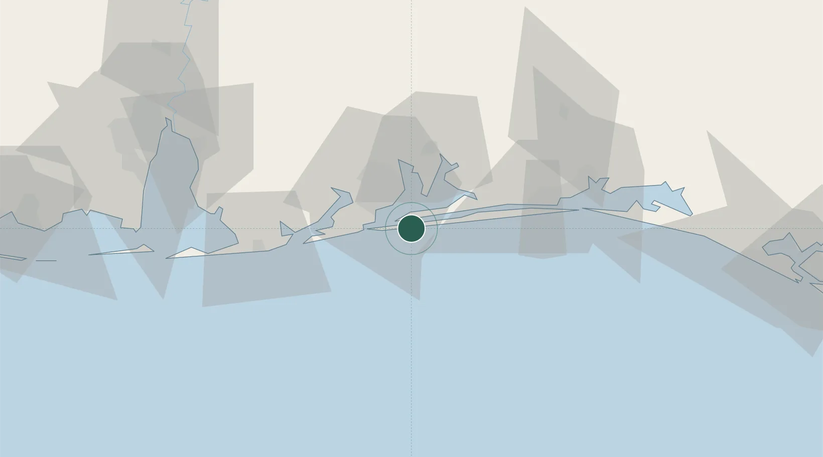
Location
Nearby Logistics Neighbours
Cities
- 1Gulf Breeze4 km
- 2Navarre28 km
- 3Cantonment31 km
- 4Orange Beach42 km
- 5Mary Esther47 km
Ports
- 1Pensacola11 km
- 2Mobile102 km
- 3Pascagoula138 km
- 4Panama City144 km
- 5Biloxi168 km
Airports
Trade Zones
- 1FTZ No. 249 Pensacola17 km
- 2FTZ No. 082 Mobile100 km
- 3FTZ No. 065 Panama City134 km
- 4FTZ No. 092 Harrison County177 km
- 5FTZ No. 233 Dothan191 km
DatabookThe Record of Consolidated Knowledge
United States beyond logistics?