UN/LOCODE hub · United States
USCQF
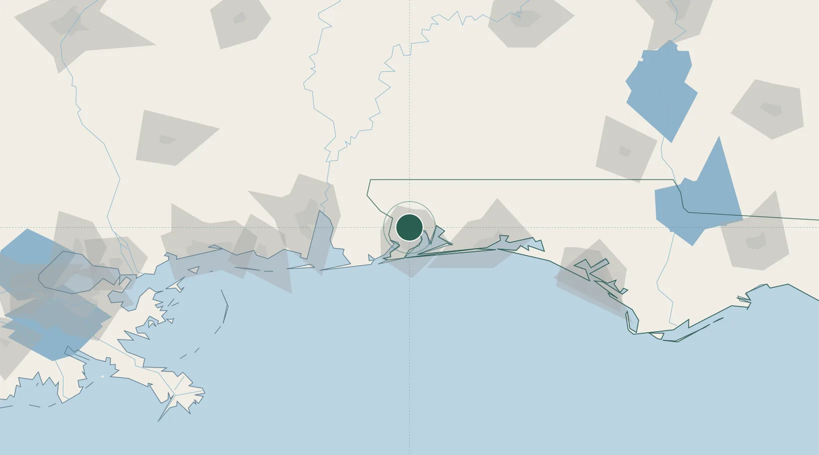
Cantonment
30.5909°, -87.2613°
26,493
Population
2
Transport functions
Transport Functions
Rail
Road
Hub Profile
Place type
Urban district
Region
Florida
Population
26,493
Time zone
America/Chicago
Elevation
45 m
Logistics facilities
1
Location
Nearby Logistics Neighbours
Cities
- 1Gulf Breeze28 km
- 2Pensacola Beach31 km
- 3Robertsdale44 km
- 4Navarre45 km
- 5Orange Beach45 km
Ports
- 1Pensacola22 km
- 2Mobile83 km
- 3Pascagoula128 km
- 4Biloxi157 km
- 5Panama City163 km
Airports
Trade Zones
- 1FTZ No. 249 Pensacola17 km
- 2FTZ No. 082 Mobile80 km
- 3FTZ No. 065 Panama City152 km
- 4FTZ No. 092 Harrison County165 km
- 5FTZ No. 233 Dothan189 km
DatabookThe Record of Consolidated Knowledge
United States beyond logistics?