UN/LOCODE hub · United States
USOBC
Orange Beach
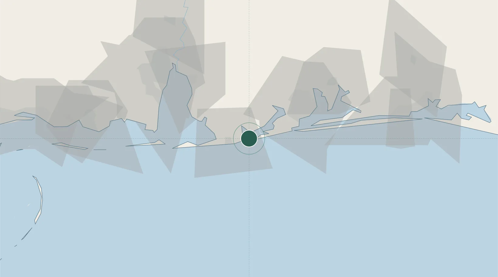
30.2833°, -87.5667°
5,850
Population
2
Transport functions
Transport Functions
Port
Road
Hub Profile
Place type
Populated place
Region
Alabama
Population
5,850
Time zone
America/Chicago
Elevation
4 m
Location
Nearby Logistics Neighbours
Cities
- 1Bon Secour15 km
- 2Robertsdale33 km
- 3Gulf Breeze39 km
- 4Pensacola Beach42 km
- 5Cantonment45 km
Ports
- 1Pensacola36 km
- 2Mobile69 km
- 3Pascagoula96 km
- 4Biloxi127 km
- 5Gulfport146 km
Airports
Trade Zones
- 1FTZ No. 249 Pensacola34 km
- 2FTZ No. 082 Mobile67 km
- 3FTZ No. 092 Harrison County136 km
- 4FTZ No. 065 Panama City175 km
- 5FTZ No. 233 Dothan230 km
DatabookThe Record of Consolidated Knowledge
United States beyond logistics?