UN/LOCODE hub · United States
USGBZ
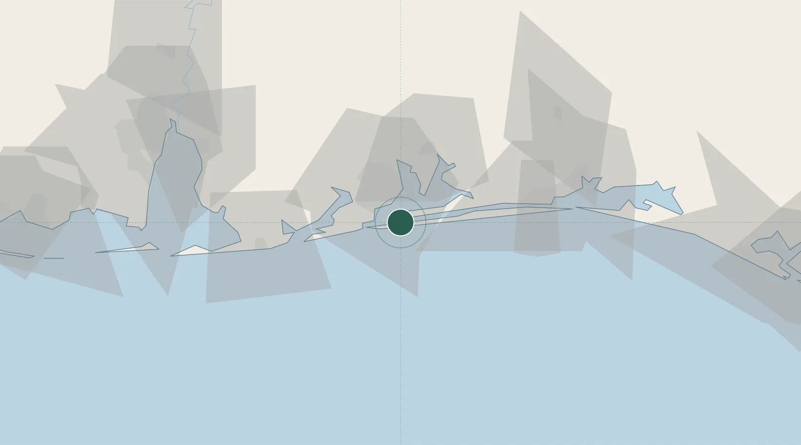
Gulf Breeze
30.3500°, -87.1667°
6,323
Population
2
Transport functions
Transport Functions
Road
Multimodal
Hub Profile
Place type
Populated place
Region
Florida
Population
6,323
Time zone
America/Chicago
Elevation
5 m
Location
Nearby Logistics Neighbours
Cities
- 1Pensacola Beach4 km
- 2Cantonment28 km
- 3Navarre31 km
- 4Orange Beach39 km
- 5Mary Esther50 km
Ports
- 1Pensacola7 km
- 2Mobile98 km
- 3Pascagoula134 km
- 4Panama City148 km
- 5Biloxi165 km
Airports
Trade Zones
- 1FTZ No. 249 Pensacola13 km
- 2FTZ No. 082 Mobile96 km
- 3FTZ No. 065 Panama City138 km
- 4FTZ No. 092 Harrison County173 km
- 5FTZ No. 233 Dothan193 km
DatabookThe Record of Consolidated Knowledge
United States beyond logistics?