Transport Functions
Port
Road
Hub Profile
Place type
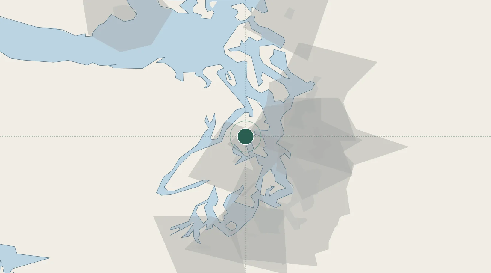
Populated place
Region
Washington
Population
554
Time zone
America/Los_Angeles
Elevation
15 m
Location
Nearby Logistics Neighbours
Cities
- 1Port Madison4 km
- 2Bainbridge Island13 km
- 3Port Blakely14 km
- 4Port Gamble17 km
- 5Manchester18 km
Ports
- 1Poulsbo5 km
- 2Silverdale8 km
- 3Bremerton15 km
- 4Port Gamble17 km
- 5Port Orchard19 km
Airports
Trade Zones
- 1FTZ No. 005 Seattle14 km
- 2FTZ No. 085 Everett45 km
- 3FTZ No. 212 Tacoma51 km
- 4FTZ No. 086 Tacoma51 km
- 5FTZ No. 216 Olympia77 km
DatabookThe Record of Consolidated Knowledge
United States beyond logistics?