UN/LOCODE hub · United States
USOW4

Point Wells

47.7833°, -122.4000°
1
Transport functions

Transport Functions

Port
Point Wells is also a profiled seaport →
UN/LOCODE

Hub Profile

Region
WA
GeoNames

Location

Location of USOW4
Natural Earth 10m (public domain) · WA · USOW4 · 47.78, -122.40GoogleOSMYandex

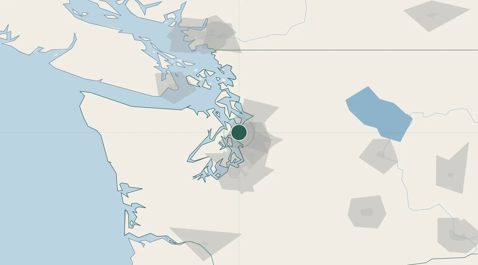
Nearby Logistics Neighbours

Cities
  1. 1Puget Sound5 km
  2. 2Lynnwood6 km
  3. 3Shoreline6 km
  4. 4Bothell15 km
  5. 5Port Madison16 km
Nearest neighbours — logibook spatial index (haversine) over the source coordinates
Ports
  1. 1Port Gamble16 km
  2. 2Keyport19 km
  3. 3Poulsbo20 km
  4. 4Mukilteo20 km
  5. 5Seattle21 km
Nearest neighbours — logibook spatial index (haversine) over the source coordinates
Trade Zones
  1. 1FTZ No. 005 Seattle20 km
  2. 2FTZ No. 085 Everett28 km
  3. 3FTZ No. 086 Tacoma58 km
  4. 4FTZ No. 212 Tacoma60 km
  5. 5FTZ No. 216 Olympia92 km
Nearest neighbours — logibook spatial index (haversine) over the source coordinates
DatabookThe Record of Consolidated Knowledge
United States beyond logistics?
Browse databook

All Sources

LocationsUN/LOCODE
UN/LOCODE — free
Portsthe NGA World Port Index
Public domain (US gov)
AirportsOurAirports
Public domain
Trade Zonesthe World Bank SEZ database
CC BY 4.0
Trade ZonesOpen Zone Map
CC BY
← United States locations