UN/LOCODE hub · United States
USPGH

Port Gamble

47.8500°, -122.5833°
1
Transport functions

Transport Functions

Port
Port Gamble is also a profiled seaport →
UN/LOCODE

Hub Profile

Region
WA
GeoNames

Location

Location of USPGH
Natural Earth 10m (public domain) · WA · USPGH · 47.85, -122.58GoogleOSMYandex

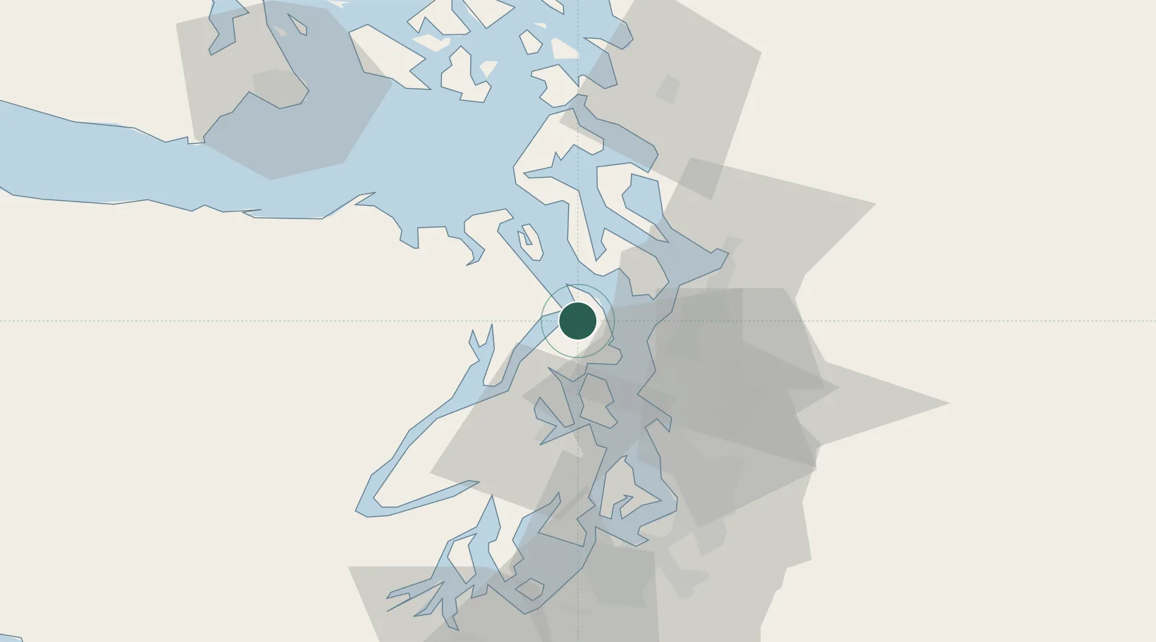
Nearby Logistics Neighbours

Cities
  1. 1Port Ludlow11 km
  2. 2Puget Sound12 km
  3. 3Point Wells16 km
  4. 4Port Madison17 km
  5. 5Keyport17 km
Nearest neighbours — logibook spatial index (haversine) over the source coordinates
Ports
  1. 1Poulsbo14 km
  2. 2Point Wells16 km
  3. 3Keyport17 km
  4. 4Mukilteo24 km
  5. 5Silverdale24 km
Nearest neighbours — logibook spatial index (haversine) over the source coordinates
Airports
  1. 1Seattle Paine Field International Airport23 km
  2. 2Kenmore Air Harbor LLC Seaplane Base26 km
  3. 3Kenmore Air Harbor Seaplane Base31 km
  4. 4King County International Airport - Boeing Field42 km
  5. 5Bremerton National Airport42 km
Nearest neighbours — logibook spatial index (haversine) over the source coordinates
Trade Zones
  1. 1FTZ No. 005 Seattle27 km
  2. 2FTZ No. 085 Everett32 km
  3. 3FTZ No. 086 Tacoma66 km
  4. 4FTZ No. 212 Tacoma67 km
  5. 5FTZ No. 216 Olympia94 km
Nearest neighbours — logibook spatial index (haversine) over the source coordinates
DatabookThe Record of Consolidated Knowledge
United States beyond logistics?
Browse databook

All Sources

LocationsUN/LOCODE
UN/LOCODE — free
Portsthe NGA World Port Index
Public domain (US gov)
AirportsOurAirports
Public domain
Trade Zonesthe World Bank SEZ database
CC BY 4.0
Trade ZonesOpen Zone Map
CC BY
← United States locations