Medium airport · United States
King County International Airport - Boeing FieldKBFI
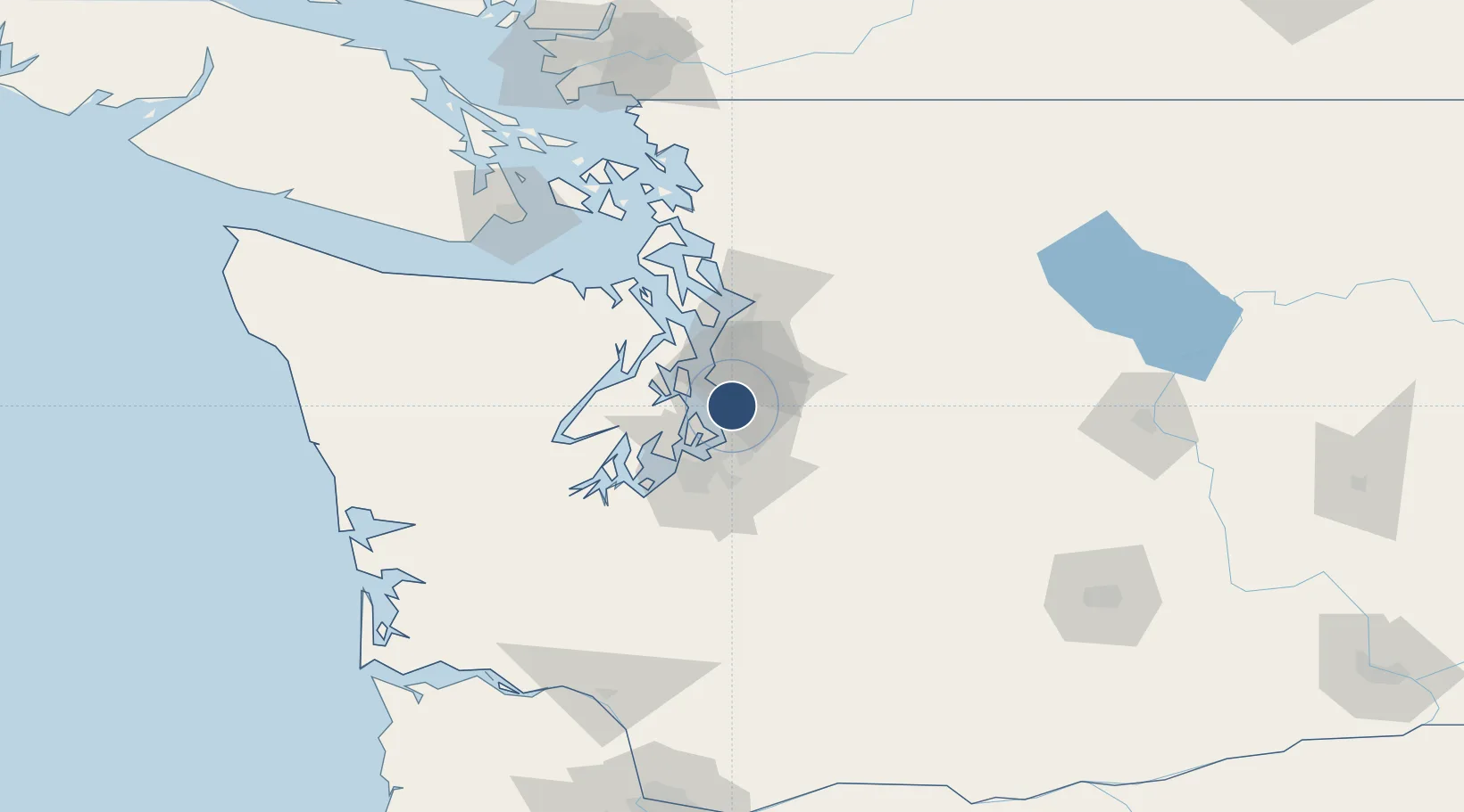
47.5270°, -122.2999°
10,007 ft
Longest runway
2
Runways
21 ft
Elevation
Runway & Layout

Radio Frequencies
ATIS
127.75 MHz
TWR
118.3 MHz
BOEING TOWER (Rwy 14L/32R)
TWR
120.6 MHz
BOEING TOWER (Rwy 14R/32L & All IFR)
GND
121.9 MHz
CLD
132.4 MHz
CLNC DEL
A/D
119.2 MHz
SEATTLE APP/DEP
RDO
122.5 MHz
SEATTLE RDO
UNIC
122.95 MHz
UNICOM
Navaids
BF NDB Nolla 362 kHz
Runways · 2
| Runway | Dimensions | Surface | True heading | Lit |
|---|---|---|---|---|
| 14R/32L | 10,007 × 200ft | Asphalt | 140° | ✓ |
| 14L/32R | 3,709 × 100ft | Asphalt | 140° | ✓ |
Airport Specifications
IATA code
BFI
ICAO code
KBFI
Airport class
Medium airport
Scheduled service
Yes
Runway surface
Asphalt
Served city
Seattle
Location
Nearby Logistics Neighbours
Airports
Cities
- 1Seattle3 km
- 2Boeing Field Apt5 km
- 3Burien7 km
- 4Madison Park12 km
- 5Des Moines14 km
Ports
- 1Seattle9 km
- 2Port Orchard25 km
- 3Bremerton27 km
- 4Tacoma29 km
- 5Point Wells30 km
Trade Zones
- 1FTZ No. 005 Seattle17 km
- 2FTZ No. 086 Tacoma30 km
- 3FTZ No. 212 Tacoma35 km
- 4FTZ No. 085 Everett53 km
- 5FTZ No. 216 Olympia72 km
DatabookThe Record of Consolidated Knowledge
United States beyond logistics?