Channel & Berth Profile
Pilotage, Tugs & Services
Pilotage availableYES
Facilities & Capabilities
Container—
Ro-Ro—
Liquid bulk—
Dry bulk—
Oil terminal—
Break bulk—
Dry dock—
Repairs—
Bunkering—
Rail link—
Dangerous cargo—
ISPS security—
Harbour Specifications
Harbour size
Very Small
Harbour type
Coastal (Natural)
Shelter
Excellent
Water body
Alaska-Canada coastal waters; North Pacific Ocean
Tidal range
2.1 m
Overhead limit
Yes
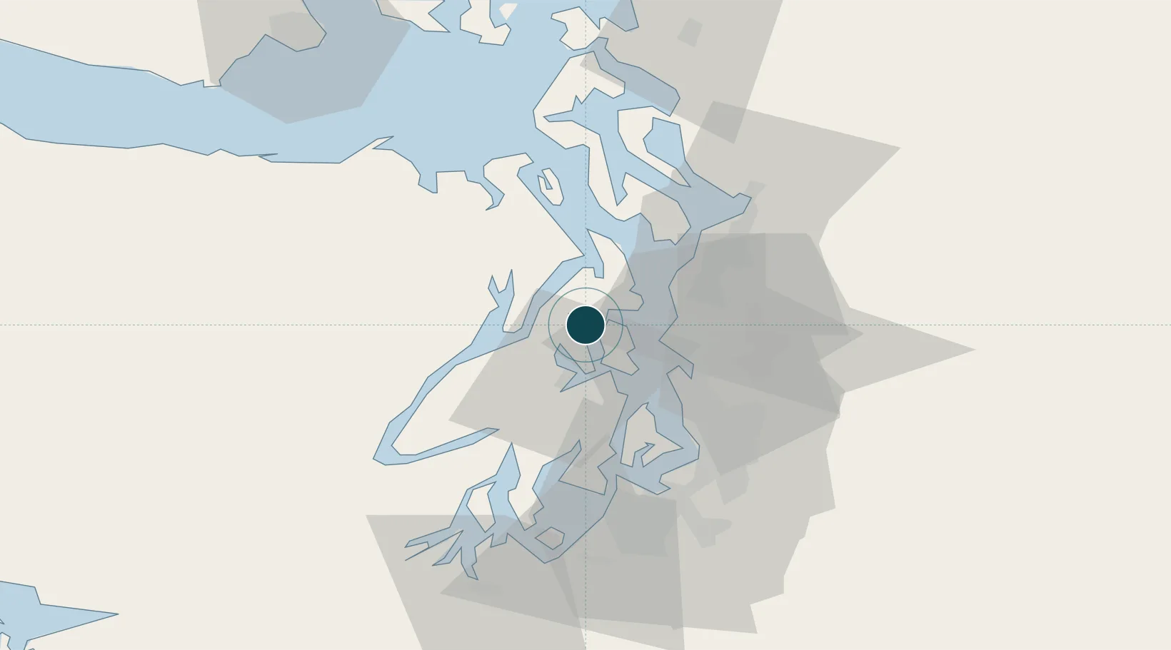
Location
Nearby Logistics Neighbours
Ports
- 1Poulsbo5 km
- 2Silverdale8 km
- 3Bremerton15 km
- 4Port Gamble17 km
- 5Port Orchard19 km
Cities
- 1Port Madison4 km
- 2Bainbridge Island13 km
- 3Port Blakely14 km
- 4Port Gamble17 km
- 5Manchester18 km
Airports
Trade Zones
- 1FTZ No. 005 Seattle14 km
- 2FTZ No. 085 Everett45 km
- 3FTZ No. 212 Tacoma51 km
- 4FTZ No. 086 Tacoma51 km
- 5FTZ No. 216 Olympia77 km
DatabookThe Record of Consolidated Knowledge
United States beyond logistics?