UN/LOCODE hub · United States
USPLU
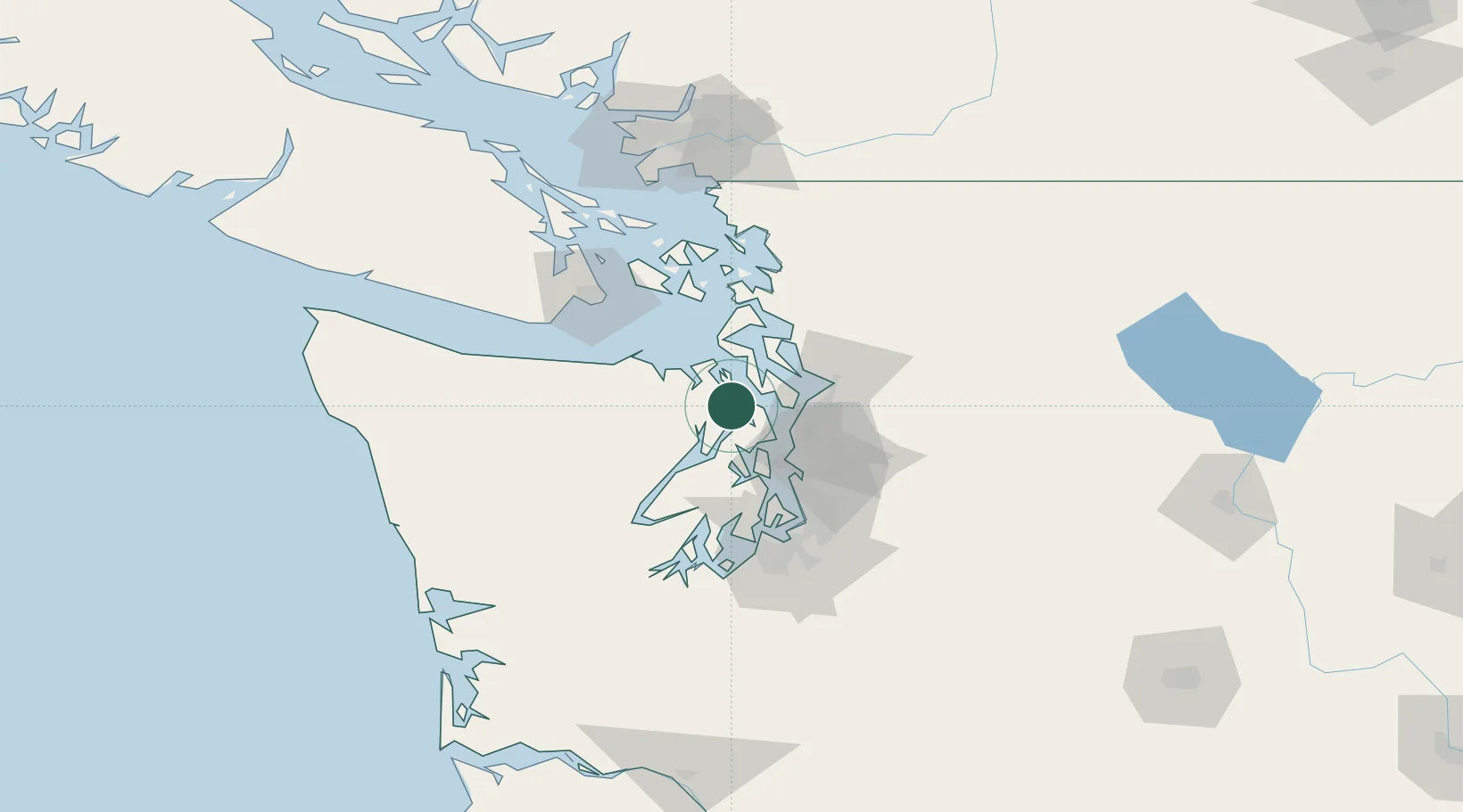
Port Ludlow
47.9167°, -122.6833°
2,603
Population
1
Transport functions
Transport Functions
Port
Hub Profile
Place type
Populated place
Region
Washington
Population
2,603
Time zone
America/Los_Angeles
Elevation
19 m
Location
Nearby Logistics Neighbours
Cities
- 1Port Gamble11 km
- 2Freeland15 km
- 3Port Hadlock18 km
- 4Puget Sound22 km
- 5Keyport25 km
Ports
- 1Port Gamble11 km
- 2Poulsbo21 km
- 3Port Townsend23 km
- 4Keyport25 km
- 5Point Wells26 km
Airports
Trade Zones
- 1FTZ No. 085 Everett36 km
- 2FTZ No. 005 Seattle37 km
- 3FTZ No. 212 Tacoma75 km
- 4FTZ No. 086 Tacoma75 km
- 5FTZ No. 129 Bellingham94 km
DatabookThe Record of Consolidated Knowledge
United States beyond logistics?