Seaport · United States

Port EvergladesUSPEF
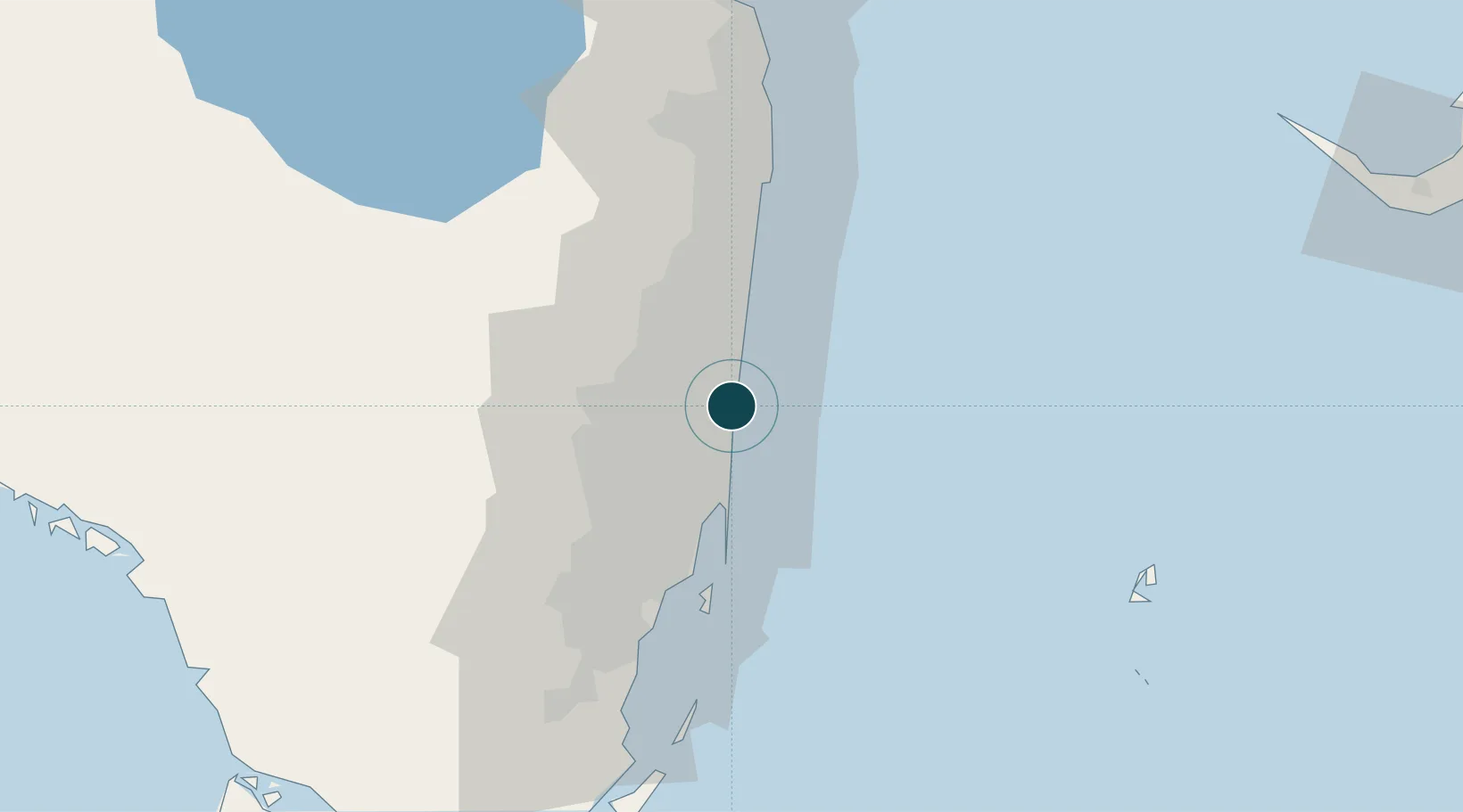
26.1000°, -80.1167°
12.5 m
Channel depth
4
Container terminals
217.2
Port liner connectivity
Port Everglades is also a UN/LOCODE logistics hub →

Channel & Berth Profile

SEA LEVEL (CD)CHANNEL BEDOil terminal · 11.0 mChannel · 12.5 mAnchorage · 23.2 m
NGA World Port Index

Pilotage, Tugs & Services

Pilotage compulsoryYES
Tug assistanceYES
Shore powerYES
Potable waterYES
Diesel bunkersYES
MedicalYES
Garbage disposalYES
NGA World Port Index

Facilities & Capabilities

Container
Ro-Ro
Liquid bulk
Dry bulk
Oil terminal
Break bulk
Dry dockNO
RepairsNO
BunkeringYES
Rail linkYES
Dangerous cargo
ISPS security
NGA World Port Index

Harbour Specifications

Harbour size
Medium
NGA World Port Index
Harbour type
Coastal (Natural)
NGA World Port Index
Shelter
Excellent
NGA World Port Index
Water body
North Atlantic Ocean
NGA World Port Index
Tidal range
0.9 m
NGA World Port Index
Pilotage
Yes
NGA World Port Index

Liner Connectivity

217.2
PLSCI

Port Liner Shipping Connectivity Index for Port Everglades, as published by UNCTAD for the latest available quarter. Higher values indicate stronger scheduled liner-shipping integration.

Shown relative to the highest per-port PLSCI in the dataset (1,657.9).

UNCTAD · Port Liner Shipping Connectivity Index

Location

Location of USPEF
Natural Earth 10m (public domain) · Florida · USPEF · 26.10, -80.12GoogleOSMYandex

Container Terminals · 4

CROWLEY TERMINAL
CRO CROWLEY LOGISTICS
FLORIDA INTERNATIONAL TERMINAL
FIT FLORIDA INTERNATIONAL TERMINAL, LLC
HYDE SHIPPING TERMINAL
HYDE HYDE SHIPPING LTD.
PORT EVERGLADES TERMINAL
PET PORT EVERGLADES TERMINAL, LLC
SMDG Terminal Code List

Nearby Logistics Neighbours

Ports
  1. 1Miami36 km
  2. 2Palm Beach74 km
  3. 3Freeport141 km
  4. 4Fort Pierce153 km
  5. 5South Riding Point198 km
Nearest neighbours — logibook spatial index (haversine) over the source coordinates
Cities
  1. 1Fort Lauderdale2 km
  2. 2Port Laudania6 km
  3. 3Oakland Park, Broward9 km
  4. 4Lauderdale Lakes10 km
  5. 5Plantation14 km
Nearest neighbours — logibook spatial index (haversine) over the source coordinates
Airports
  1. 1Fort Lauderdale Hollywood International Airport5 km
  2. 2Fort Lauderdale Executive Airport12 km
  3. 3North Perry Airport17 km
  4. 4Miami-Opa Locka Executive Airport27 km
  5. 5Boca Raton Airport31 km
Nearest neighbours — logibook spatial index (haversine) over the source coordinates
Trade Zones
  1. 1FTZ No. 025 Broward County2 km
  2. 2FTZ No. 241 Fort Lauderdale13 km
  3. 3FTZ No. 180 Miami (Wynwood)34 km
  4. 4FTZ No. 032 Miami39 km
  5. 5FTZ No. 135 Palm Beach County75 km
Nearest neighbours — logibook spatial index (haversine) over the source coordinates
DatabookThe Record of Consolidated Knowledge
United States beyond logistics?
Browse databook

All Sources

Portsthe NGA World Port Index
Public domain (US gov)
Logistics performanceUNCTAD
CC BY 3.0 IGO
Portsthe SMDG Terminal Code List
UN/LOCODE — free, attribution
AirportsOurAirports
Public domain
LocationsUN/LOCODE
UN/LOCODE — free
Trade Zonesthe World Bank SEZ database
CC BY 4.0
Trade ZonesOpen Zone Map
CC BY
← United States ports