Medium airport · United States

Miami-Opa Locka Executive AirportKOPF
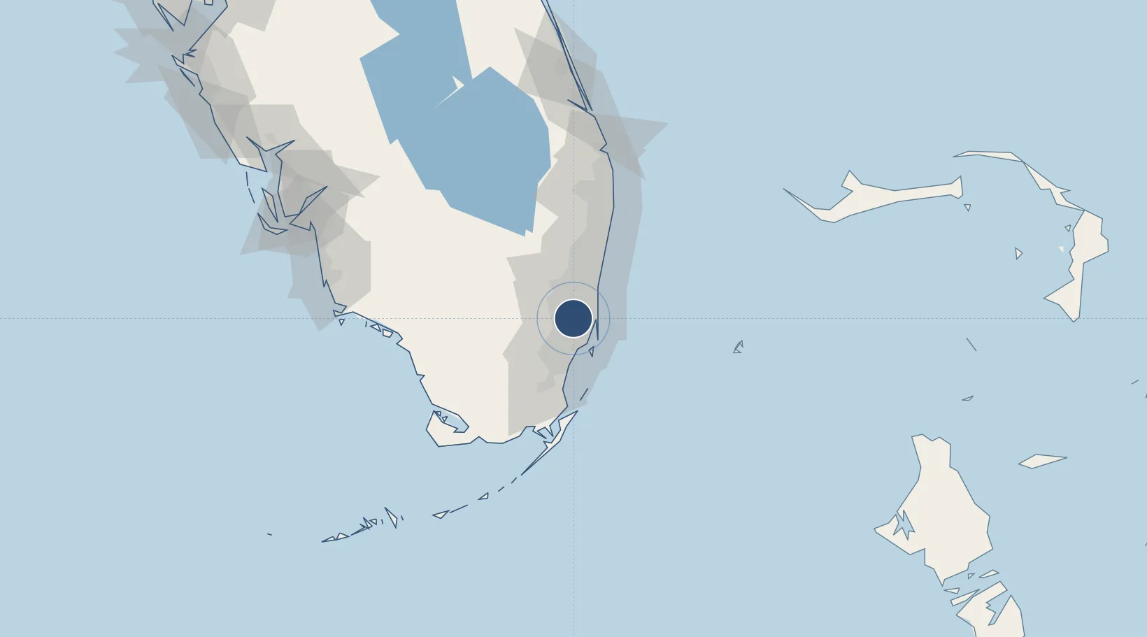
25.9070°, -80.2784°
8,002 ft
Longest runway
3
Runways
8 ft
Elevation

Runway & Layout

Miami-Opa Locka Executive Airport runway & taxiway layout
Runway & taxiway layout — OpenStreetMap (ODbL) / OurAirports

Radio Frequencies

ATIS
125.9 MHz
TWR
120.7 MHz
GND
121.9 MHz
CLD
119.2 MHz
CLNC DEL
CTAF
120.7 MHz
A/D
128.6 MHz
MIAMI APP/DEP
MISC
123.1 MHz
CG MIAMI AIR
OurAirports

Runways · 3

RunwayDimensions SurfaceTrue headingLit
09L/27R 8,002 × 150ft Asphalt 087°
12/30 6,800 × 150ft Asphalt 122°
09R/27L 4,309 × 100ft Asphalt 087°
OurAirports

Airport Specifications

IATA code
OPF
OurAirports
ICAO code
KOPF
OurAirports
Airport class
Medium airport
OurAirports
Scheduled service
Yes
OurAirports
Runway surface
Asphalt
OurAirports
Served city
Miami
OurAirports

Location

Location of KOPF
Natural Earth 10m (public domain) · Florida · KOPF · 25.91, -80.28GoogleOSMYandex

Nearby Logistics Neighbours

Airports
  1. 1North Perry Airport11 km
  2. 2Miami International Airport12 km
  3. 3Fort Lauderdale Hollywood International Airport22 km
  4. 4Miami Executive Airport33 km
  5. 5Fort Lauderdale Executive Airport34 km
Nearest neighbours — logibook spatial index (haversine) over the source coordinates
Cities
  1. 1Carol City3 km
  2. 2Hialeah Gardens6 km
  3. 3Hialeah6 km
  4. 4Miami8 km
  5. 5North Miami10 km
Nearest neighbours — logibook spatial index (haversine) over the source coordinates
Ports
  1. 1Miami17 km
  2. 2Port Everglades27 km
  3. 3Palm Beach98 km
  4. 4Freeport164 km
  5. 5Fort Pierce174 km
Nearest neighbours — logibook spatial index (haversine) over the source coordinates
Trade Zones
  1. 1FTZ No. 032 Miami13 km
  2. 2FTZ No. 180 Miami (Wynwood)14 km
  3. 3FTZ No. 025 Broward County25 km
  4. 4FTZ No. 241 Fort Lauderdale34 km
  5. 5FTZ No. 281 Miami-Dade County60 km
Nearest neighbours — logibook spatial index (haversine) over the source coordinates
DatabookThe Record of Consolidated Knowledge
United States beyond logistics?
Browse databook

All Sources

AirportsOurAirports
Public domain
Portsthe NGA World Port Index
Public domain (US gov)
LocationsUN/LOCODE
UN/LOCODE — free
Trade Zonesthe World Bank SEZ database
CC BY 4.0
Trade ZonesOpen Zone Map
CC BY
InfrastructureOpenStreetMap
ODbL 1.0
← United States airports