UN/LOCODE hub · United States
USOP2

Oakland Park, Broward

26.1833°, -80.1333°
2
Transport functions

Transport Functions

Rail
Road
UN/LOCODE

Hub Profile

Region
FL
GeoNames

Location

Location of USOP2
Natural Earth 10m (public domain) · FL · USOP2 · 26.18, -80.13GoogleOSMYandex

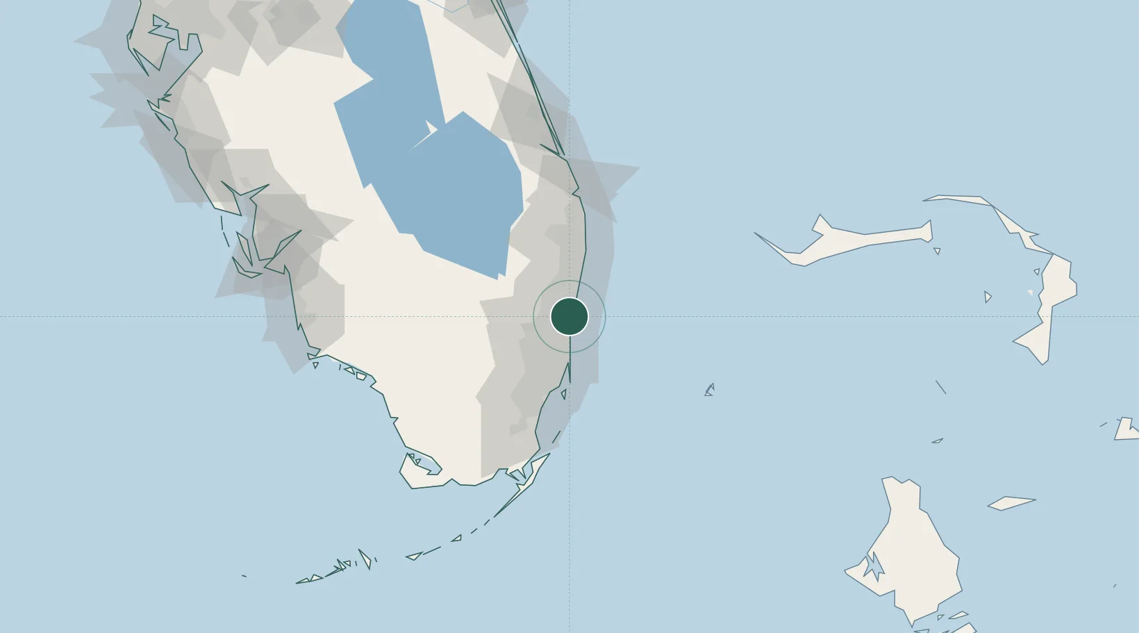
Nearby Logistics Neighbours

Cities
  1. 1Lauderdale Lakes8 km
  2. 2Fort Lauderdale10 km
  3. 3Lighthouse Point11 km
  4. 4Tamarac12 km
  5. 5Plantation13 km
Nearest neighbours — logibook spatial index (haversine) over the source coordinates
Ports
  1. 1Port Everglades9 km
  2. 2Miami45 km
  3. 3Palm Beach65 km
  4. 4Freeport140 km
  5. 5Fort Pierce144 km
Nearest neighbours — logibook spatial index (haversine) over the source coordinates
Airports
  1. 1Fort Lauderdale Executive Airport4 km
  2. 2Fort Lauderdale Hollywood International Airport13 km
  3. 3Boca Raton Airport22 km
  4. 4North Perry Airport23 km
  5. 5Miami-Opa Locka Executive Airport34 km
Nearest neighbours — logibook spatial index (haversine) over the source coordinates
Trade Zones
  1. 1FTZ No. 241 Fort Lauderdale5 km
  2. 2FTZ No. 025 Broward County11 km
  3. 3FTZ No. 180 Miami (Wynwood)43 km
  4. 4FTZ No. 032 Miami47 km
  5. 5FTZ No. 135 Palm Beach County66 km
Nearest neighbours — logibook spatial index (haversine) over the source coordinates
DatabookThe Record of Consolidated Knowledge
United States beyond logistics?
Browse databook

All Sources

LocationsUN/LOCODE
UN/LOCODE — free
Portsthe NGA World Port Index
Public domain (US gov)
AirportsOurAirports
Public domain
Trade Zonesthe World Bank SEZ database
CC BY 4.0
Trade ZonesOpen Zone Map
CC BY
← United States locations