Seaport · Bahamas
FreeportBSFPO
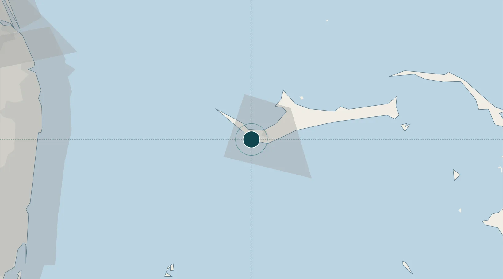
26.5167°, -78.7833°
14.0 m
Channel depth
1
Container terminals
219.8
Port liner connectivity
Channel & Berth Profile
Pilotage, Tugs & Services
Pilotage compulsoryYES
Pilotage availableYES
Pilotage advisableYES
Tug assistanceYES
Shore powerYES
Potable waterYES
Diesel bunkersYES
MedicalYES
Garbage disposalYES
Facilities & Capabilities
ContainerYES
Ro-RoYES
Liquid bulkYES
Dry bulkYES
Oil terminalYES
Break bulk—
Dry dockNO
RepairsNO
BunkeringYES
Rail link—
Dangerous cargo—
ISPS securityYES
Harbour Specifications
Harbour size
Small
Harbour type
River (Basins)
Shelter
Fair
Water body
North Atlantic Ocean
Tidal range
1.5 m
Overhead limit
No
Pilotage
Yes
Liner Connectivity
219.8
PLSCI
Port Liner Shipping Connectivity Index for Freeport, as published by UNCTAD for the latest available quarter. Higher values indicate stronger scheduled liner-shipping integration.
Shown relative to the highest per-port PLSCI in the dataset (1,657.9).
Location
Container Terminals · 1
FREEPORT CONTAINER PORT
FCP FREEPORT CONTAINER PORT (FCP) / HUTCHISON PORTS
Nearby Logistics Neighbours
Ports
- 1South Riding Point57 km
- 2Palm Beach129 km
- 3Port Everglades141 km
- 4Miami162 km
- 5Fort Pierce185 km
Cities
- 1Lucaya15 km
- 2West End26 km
- 3Little Stirrup Cay115 km
- 4Great Stirrup Cay116 km
- 5Great Harbour Cay128 km
Airports
Trade Zones
DatabookThe Record of Consolidated Knowledge
Bahamas beyond logistics?