Channel & Berth Profile
Pilotage, Tugs & Services
Pilotage compulsoryYES
Pilotage availableYES
Pilotage advisableYES
Tug assistanceYES
Salvage tugsYES
Potable waterNO
Diesel bunkersNO
MedicalYES
Garbage disposalYES
Facilities & Capabilities
Container—
Ro-Ro—
Liquid bulkYES
Dry bulk—
Oil terminalYES
Break bulk—
Dry dock—
RepairsNO
BunkeringNO
Rail link—
Dangerous cargo—
ISPS securityYES
Harbour Specifications
Harbour size
Very Small
Harbour type
Coastal (Natural)
Shelter
Fair
Water body
North Atlantic Ocean
Tidal range
1 m
Overhead limit
No
Pilotage
Yes
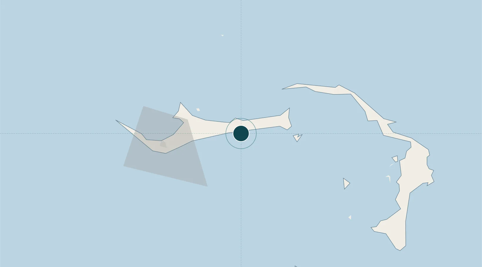
Location
Nearby Logistics Neighbours
Ports
- 1Freeport57 km
- 2Palm Beach183 km
- 3Nassau191 km
- 4Clifton Pier192 km
- 5Port Everglades198 km
Cities
- 1Lucaya43 km
- 2Freeport, Grand Bahama51 km
- 3West End75 km
- 4Green Turtle Cay89 km
- 5Gorda Cay90 km
Airports
Trade Zones
- 1Freeport Bahamas45 km
- 2Grand Bahama International Airport49 km
- 3FTZ No. 135 Palm Beach County183 km
- 4FTZ No. 025 Broward County199 km
- 5FTZ No. 241 Fort Lauderdale200 km
DatabookThe Record of Consolidated Knowledge
Bahamas beyond logistics?