UN/LOCODE hub · United States
USJDT

Port Laudania

26.0500°, -80.1167°
2
Transport functions

Transport Functions

Port
Multimodal
UN/LOCODE

Hub Profile

Place type
Populated place
GeoNames
Region
Florida
GeoNames
Time zone
America/New_York
GeoNames
Elevation
1 m
GeoNames

Location

Location of USJDT
Natural Earth 10m (public domain) · Florida · USJDT · 26.05, -80.12GoogleOSMYandex

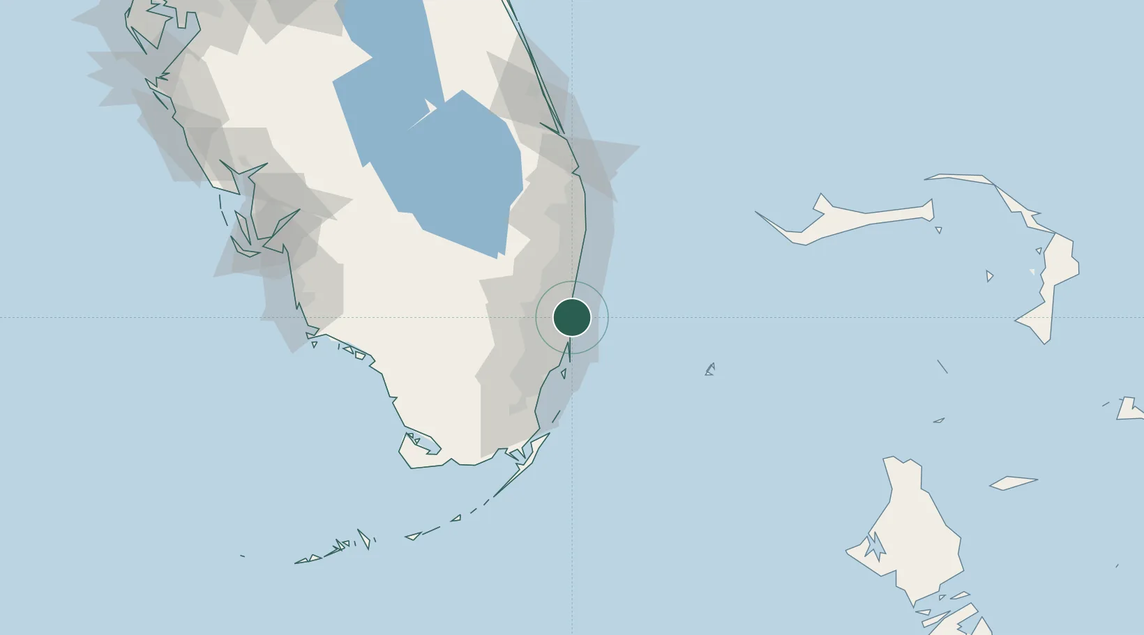
Nearby Logistics Neighbours

Cities
  1. 1Port Everglades2 km
  2. 2Fort Lauderdale5 km
  3. 3Pembroke Park9 km
  4. 4Miami Gardens13 km
  5. 5Lauderdale Lakes14 km
Nearest neighbours — logibook spatial index (haversine) over the source coordinates
Ports
  1. 1Port Everglades6 km
  2. 2Miami30 km
  3. 3Palm Beach80 km
  4. 4Freeport143 km
  5. 5Fort Pierce159 km
Nearest neighbours — logibook spatial index (haversine) over the source coordinates
Airports
  1. 1Fort Lauderdale Hollywood International Airport4 km
  2. 2North Perry Airport14 km
  3. 3Fort Lauderdale Executive Airport17 km
  4. 4Miami-Opa Locka Executive Airport23 km
  5. 5Miami International Airport33 km
Nearest neighbours — logibook spatial index (haversine) over the source coordinates
Trade Zones
  1. 1FTZ No. 025 Broward County4 km
  2. 2FTZ No. 241 Fort Lauderdale18 km
  3. 3FTZ No. 180 Miami (Wynwood)29 km
  4. 4FTZ No. 032 Miami35 km
  5. 5FTZ No. 135 Palm Beach County80 km
Nearest neighbours — logibook spatial index (haversine) over the source coordinates
DatabookThe Record of Consolidated Knowledge
United States beyond logistics?
Browse databook

All Sources

LocationsUN/LOCODE
UN/LOCODE — free
Portsthe NGA World Port Index
Public domain (US gov)
AirportsOurAirports
Public domain
Trade Zonesthe World Bank SEZ database
CC BY 4.0
Trade ZonesOpen Zone Map
CC BY
← United States locations