Foreign Trade Zone · United States

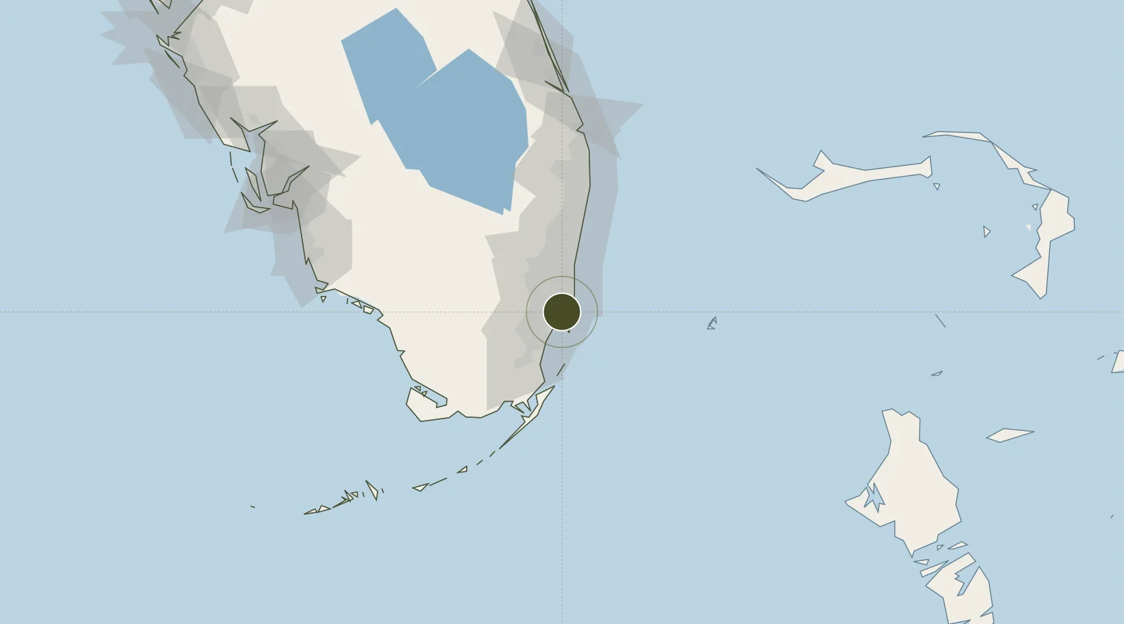
FTZ No. 180 Miami (Wynwood) Inactive

25.8039°, -80.2073°
3.3 km
Nearest port
8.3 km
Nearest airport

Gateway access

Nearest neighbours — logibook spatial index (haversine) over the source coordinates

Zone profile

Zone type
Foreign Trade Zone
Open Zone Map
Region
Florida
Open Zone Map
Status
Inactive
Open Zone Map
Management
Public-Private Partnership
Open Zone Map
Operator
Wynwood Community Economic Development Corp.
Open Zone Map
Legal framework
Foreign-Trade Zones Act
Open Zone Map

Location

Location of ozm-4903
Natural Earth 10m (public domain) · Florida · ozm-4903 · 25.80, -80.21GoogleOSMYandex

Nearby Logistics Neighbours

Ports
  1. 1Miami3 km
  2. 2Port Everglades34 km
  3. 3Palm Beach108 km
  4. 4Freeport163 km
  5. 5Fort Pierce185 km
Nearest neighbours — logibook spatial index (haversine) over the source coordinates
Airports
  1. 1Miami International Airport8 km
  2. 2Miami-Opa Locka Executive Airport14 km
  3. 3North Perry Airport22 km
  4. 4Miami Executive Airport29 km
  5. 5Fort Lauderdale Hollywood International Airport30 km
Nearest neighbours — logibook spatial index (haversine) over the source coordinates
Cities
  1. 1Miami River5 km
  2. 2Miami Shores6 km
  3. 3North Bay Village7 km
  4. 4Miami8 km
  5. 5Miami Beach8 km
Nearest neighbours — logibook spatial index (haversine) over the source coordinates
Trade Zones
  1. 1FTZ No. 032 Miami11 km
  2. 2FTZ No. 025 Broward County32 km
  3. 3FTZ No. 241 Fort Lauderdale44 km
  4. 4FTZ No. 281 Miami-Dade County60 km
  5. 5FTZ No. 135 Palm Beach County109 km
Nearest neighbours — logibook spatial index (haversine) over the source coordinates
DatabookThe Record of Consolidated Knowledge
United States beyond logistics?
Browse databook

All Sources

Trade ZonesOpen Zone Map
CC BY
Portsthe NGA World Port Index
Public domain (US gov)
AirportsOurAirports
Public domain
LocationsUN/LOCODE
UN/LOCODE — free
← United States trade zones