Foreign Trade Zone · United States

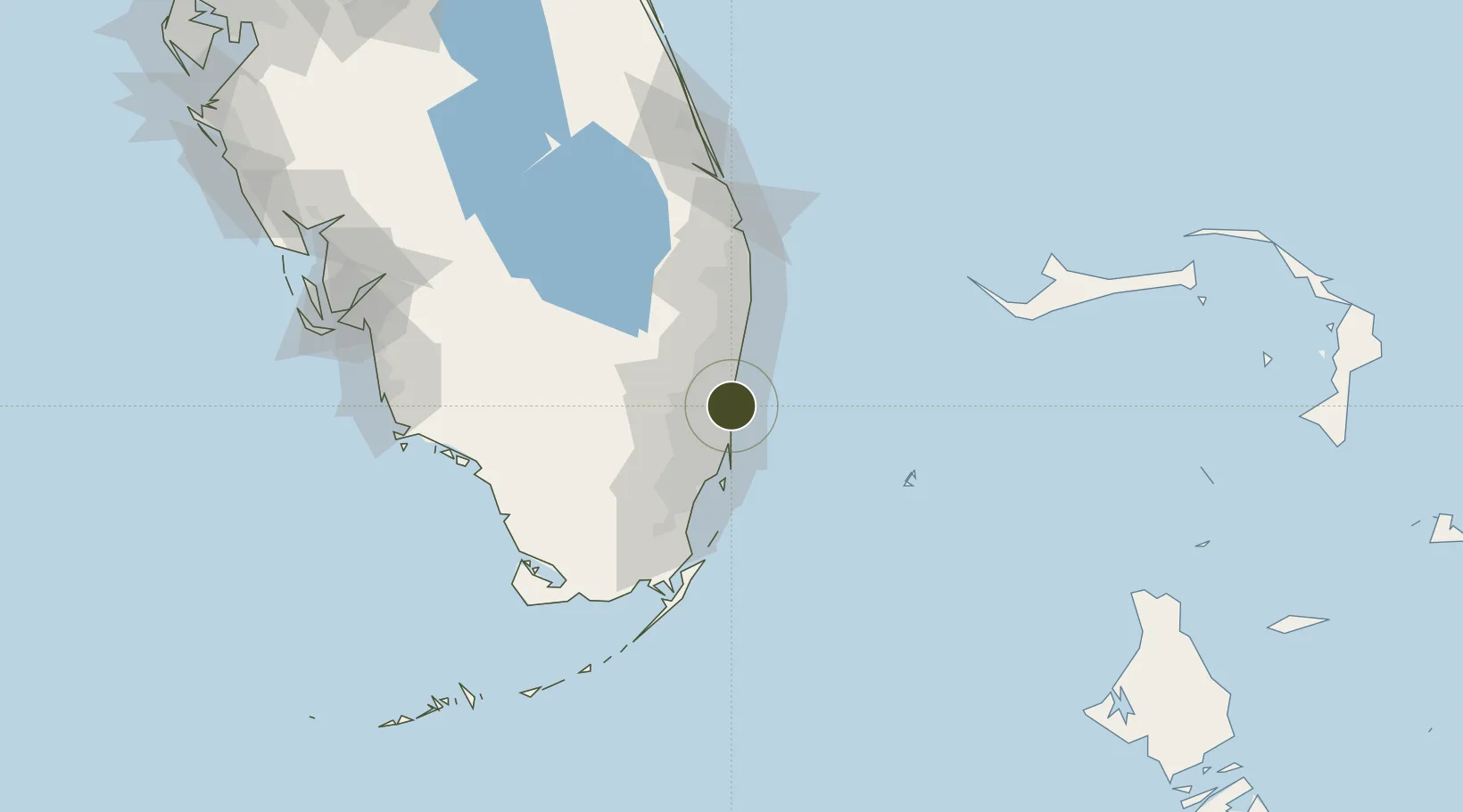
FTZ No. 025 Broward County Active

26.0807°, -80.1260°
2.3 km
Nearest port
2.8 km
Nearest airport

Gateway access

Nearest neighbours — logibook spatial index (haversine) over the source coordinates

Zone profile

Zone type
Foreign Trade Zone
Open Zone Map
Region
Florida
Open Zone Map
Status
Active
Open Zone Map
Management
Public
Open Zone Map
Operator
Port Everglades Department of Broward County
Open Zone Map
Legal framework
Foreign-Trade Zones Act
Open Zone Map

Location

Location of ozm-4743
Natural Earth 10m (public domain) · Florida · ozm-4743 · 26.08, -80.13GoogleOSMYandex

Nearby Logistics Neighbours

Ports
  1. 1Port Everglades2 km
  2. 2Miami34 km
  3. 3Palm Beach77 km
  4. 4Freeport142 km
  5. 5Fort Pierce155 km
Nearest neighbours — logibook spatial index (haversine) over the source coordinates
Airports
  1. 1Fort Lauderdale Hollywood International Airport3 km
  2. 2Fort Lauderdale Executive Airport14 km
  3. 3North Perry Airport15 km
  4. 4Miami-Opa Locka Executive Airport25 km
  5. 5Boca Raton Airport33 km
Nearest neighbours — logibook spatial index (haversine) over the source coordinates
Cities
  1. 1Port Everglades2 km
  2. 2Fort Lauderdale2 km
  3. 3Port Laudania4 km
  4. 4Lauderdale Lakes11 km
  5. 5Oakland Park, Broward11 km
Nearest neighbours — logibook spatial index (haversine) over the source coordinates
Trade Zones
  1. 1FTZ No. 241 Fort Lauderdale14 km
  2. 2FTZ No. 180 Miami (Wynwood)32 km
  3. 3FTZ No. 032 Miami37 km
  4. 4FTZ No. 135 Palm Beach County77 km
  5. 5FTZ No. 281 Miami-Dade County85 km
Nearest neighbours — logibook spatial index (haversine) over the source coordinates
DatabookThe Record of Consolidated Knowledge
United States beyond logistics?
Browse databook

All Sources

Trade ZonesOpen Zone Map
CC BY
Portsthe NGA World Port Index
Public domain (US gov)
AirportsOurAirports
Public domain
LocationsUN/LOCODE
UN/LOCODE — free
← United States trade zones