Medium airport · United States

Boca Raton AirportKBCT
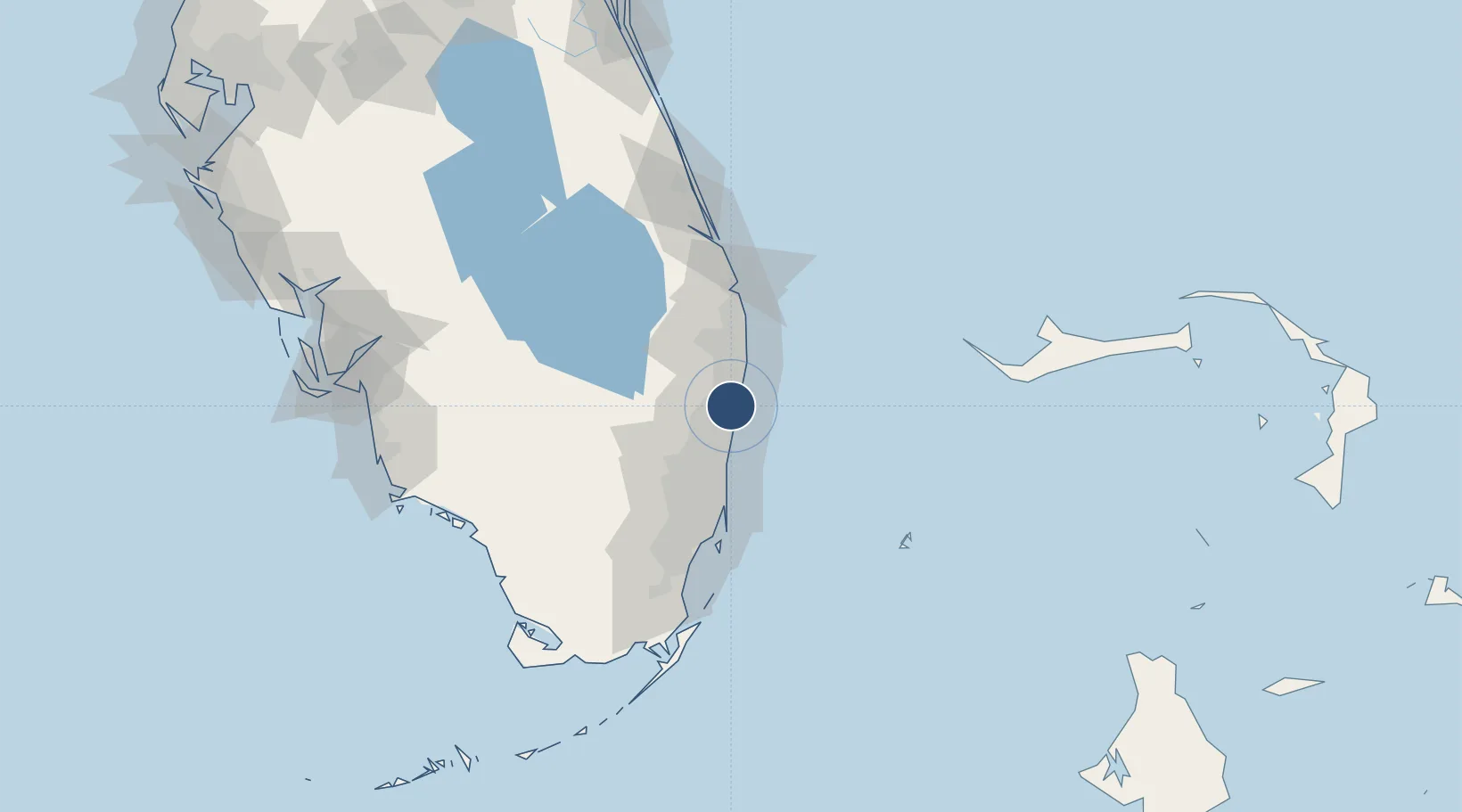
26.3785°, -80.1077°
6,276 ft
Longest runway
1
Runways
13 ft
Elevation

Runway & Layout

Boca Raton Airport runway & taxiway layout
Runway & taxiway layout — OpenStreetMap (ODbL) / OurAirports

Radio Frequencies

AWOS
121.125 MHz
AWOS 3
TWR
118.425 MHz
GND
121.8 MHz
CLD
121.8 MHz
CLNC DEL
APP
125.2 MHz
PALM BEACH APP
DEP
127.35 MHz
PALM BEACH DEP
CTAF
118.425 MHz
OurAirports

Runways · 1

RunwayDimensions SurfaceTrue headingLit
05/23 6,276 × 150ft Asphalt 044°
OurAirports

Airport Specifications

IATA code
BCT
OurAirports
ICAO code
KBCT
OurAirports
Airport class
Medium airport
OurAirports
Scheduled service
No
OurAirports
Runway surface
Asphalt
OurAirports
Served city
Boca Raton
OurAirports

Location

Location of KBCT
Natural Earth 10m (public domain) · Florida · KBCT · 26.38, -80.11GoogleOSMYandex

Nearby Logistics Neighbours

Airports
  1. 1Fort Lauderdale Executive Airport21 km
  2. 2Palm Beach International Airport34 km
  3. 3Fort Lauderdale Hollywood International Airport34 km
  4. 4North Perry Airport44 km
  5. 5Miami-Opa Locka Executive Airport55 km
Nearest neighbours — logibook spatial index (haversine) over the source coordinates
Cities
  1. 1Lighthouse Point13 km
  2. 2Oakland Park, Broward22 km
  3. 3Tamarac24 km
  4. 4Greenacres27 km
  5. 5Lauderdale Lakes27 km
Nearest neighbours — logibook spatial index (haversine) over the source coordinates
Ports
  1. 1Port Everglades31 km
  2. 2Palm Beach44 km
  3. 3Miami67 km
  4. 4Fort Pierce123 km
  5. 5Freeport133 km
Nearest neighbours — logibook spatial index (haversine) over the source coordinates
Trade Zones
  1. 1FTZ No. 241 Fort Lauderdale21 km
  2. 2FTZ No. 025 Broward County33 km
  3. 3FTZ No. 135 Palm Beach County44 km
  4. 4FTZ No. 180 Miami (Wynwood)65 km
  5. 5FTZ No. 032 Miami68 km
Nearest neighbours — logibook spatial index (haversine) over the source coordinates
DatabookThe Record of Consolidated Knowledge
United States beyond logistics?
Browse databook

All Sources

AirportsOurAirports
Public domain
Portsthe NGA World Port Index
Public domain (US gov)
LocationsUN/LOCODE
UN/LOCODE — free
Trade Zonesthe World Bank SEZ database
CC BY 4.0
Trade ZonesOpen Zone Map
CC BY
InfrastructureOpenStreetMap
ODbL 1.0
← United States airports