Channel & Berth Profile
Pilotage, Tugs & Services
Pilotage compulsoryYES
Tug assistanceYES
Potable waterYES
Diesel bunkersYES
MedicalYES
Facilities & Capabilities
Container—
Ro-Ro—
Liquid bulk—
Dry bulk—
Oil terminal—
Break bulk—
Dry dock—
RepairsNO
BunkeringYES
Rail linkYES
Dangerous cargo—
ISPS security—
Harbour Specifications
Harbour size
Very Small
Harbour type
Coastal (Natural)
Shelter
Excellent
Water body
North Atlantic Ocean
Tidal range
0.3 m
Pilotage
Yes
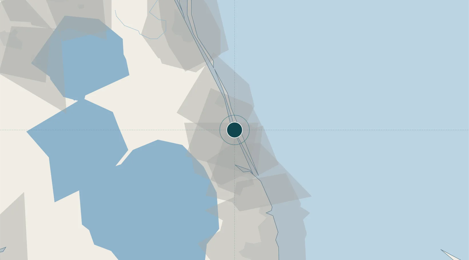
Location
Nearby Logistics Neighbours
Ports
- 1Palm Beach82 km
- 2Canaveral Harbor140 km
- 3Port Everglades153 km
- 4Freeport185 km
- 5Miami188 km
Cities
- 1Saint Lucie3 km
- 2Palm City34 km
- 3Fellsmere44 km
- 4Malabar64 km
- 5Indialantic73 km
Airports
Trade Zones
- 1FTZ No. 218 St. Lucie County25 km
- 2FTZ No. 135 Palm Beach County82 km
- 3FTZ No. 215 Sebring119 km
- 4FTZ No. 136 Brevard County131 km
- 5FTZ No. 241 Fort Lauderdale142 km
DatabookThe Record of Consolidated Knowledge
United States beyond logistics?