Large airport · United States

Fort Lauderdale Hollywood International AirportKFLL
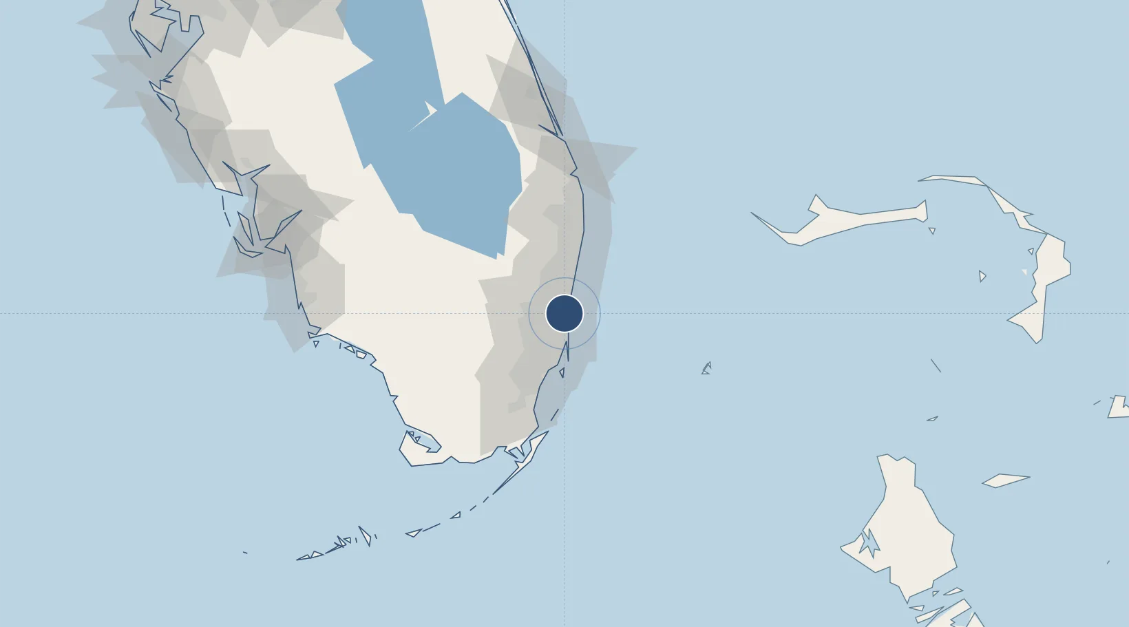
26.0726°, -80.1527°
9,000 ft
Longest runway
2
Runways
9 ft
Elevation

Runway & Layout

Fort Lauderdale Hollywood International Airport runway & taxiway layout
Runway & taxiway layout — OpenStreetMap (ODbL) / OurAirports

Radio Frequencies

ATIS
135 MHz
TWR
119.3 MHz
GND
121.4 MHz
CLD
128.4 MHz
CLNC DEL
APP
118.1 MHz
MIAMI APP
DEP
119.7 MHz
MIAMI DEP
UNIC
122.95 MHz
UNICOM
OurAirports

Navaids

FLL VOR-DME Fort Lauderdale 114.40 MHz
PJN NDB Plantation 242 kHz
OurAirports

Runways · 2

RunwayDimensions SurfaceTrue headingLit
10L/28R 9,000 × 150ft Asphalt 090°
10R/28L 8,000 × 150ft Asphalt 090°
OurAirports

Airport Specifications

IATA code
FLL
OurAirports
ICAO code
KFLL
OurAirports
Airport class
Large airport
OurAirports
Scheduled service
Yes
OurAirports
Runway surface
Asphalt
OurAirports
Served city
Fort Lauderdale
OurAirports

Location

Location of KFLL
Natural Earth 10m (public domain) · Florida · KFLL · 26.07, -80.15GoogleOSMYandex

Nearby Logistics Neighbours

Airports
  1. 1North Perry Airport12 km
  2. 2Fort Lauderdale Executive Airport14 km
  3. 3Miami-Opa Locka Executive Airport22 km
  4. 4Miami International Airport34 km
  5. 5Boca Raton Airport34 km
Nearest neighbours — logibook spatial index (haversine) over the source coordinates
Cities
  1. 1Port Everglades3 km
  2. 2Fort Lauderdale3 km
  3. 3Port Laudania4 km
  4. 4Lauderdale Lakes10 km
  5. 5Pembroke Park10 km
Nearest neighbours — logibook spatial index (haversine) over the source coordinates
Ports
  1. 1Port Everglades5 km
  2. 2Miami32 km
  3. 3Palm Beach78 km
  4. 4Freeport145 km
  5. 5Fort Pierce156 km
Nearest neighbours — logibook spatial index (haversine) over the source coordinates
Trade Zones
  1. 1FTZ No. 025 Broward County3 km
  2. 2FTZ No. 241 Fort Lauderdale14 km
  3. 3FTZ No. 180 Miami (Wynwood)30 km
  4. 4FTZ No. 032 Miami35 km
  5. 5FTZ No. 135 Palm Beach County78 km
Nearest neighbours — logibook spatial index (haversine) over the source coordinates
DatabookThe Record of Consolidated Knowledge
United States beyond logistics?
Browse databook

All Sources

AirportsOurAirports
Public domain
Portsthe NGA World Port Index
Public domain (US gov)
LocationsUN/LOCODE
UN/LOCODE — free
Trade Zonesthe World Bank SEZ database
CC BY 4.0
Trade ZonesOpen Zone Map
CC BY
InfrastructureOpenStreetMap
ODbL 1.0
← United States airports