Medium airport · United States

Fort Lauderdale Executive AirportKFXE
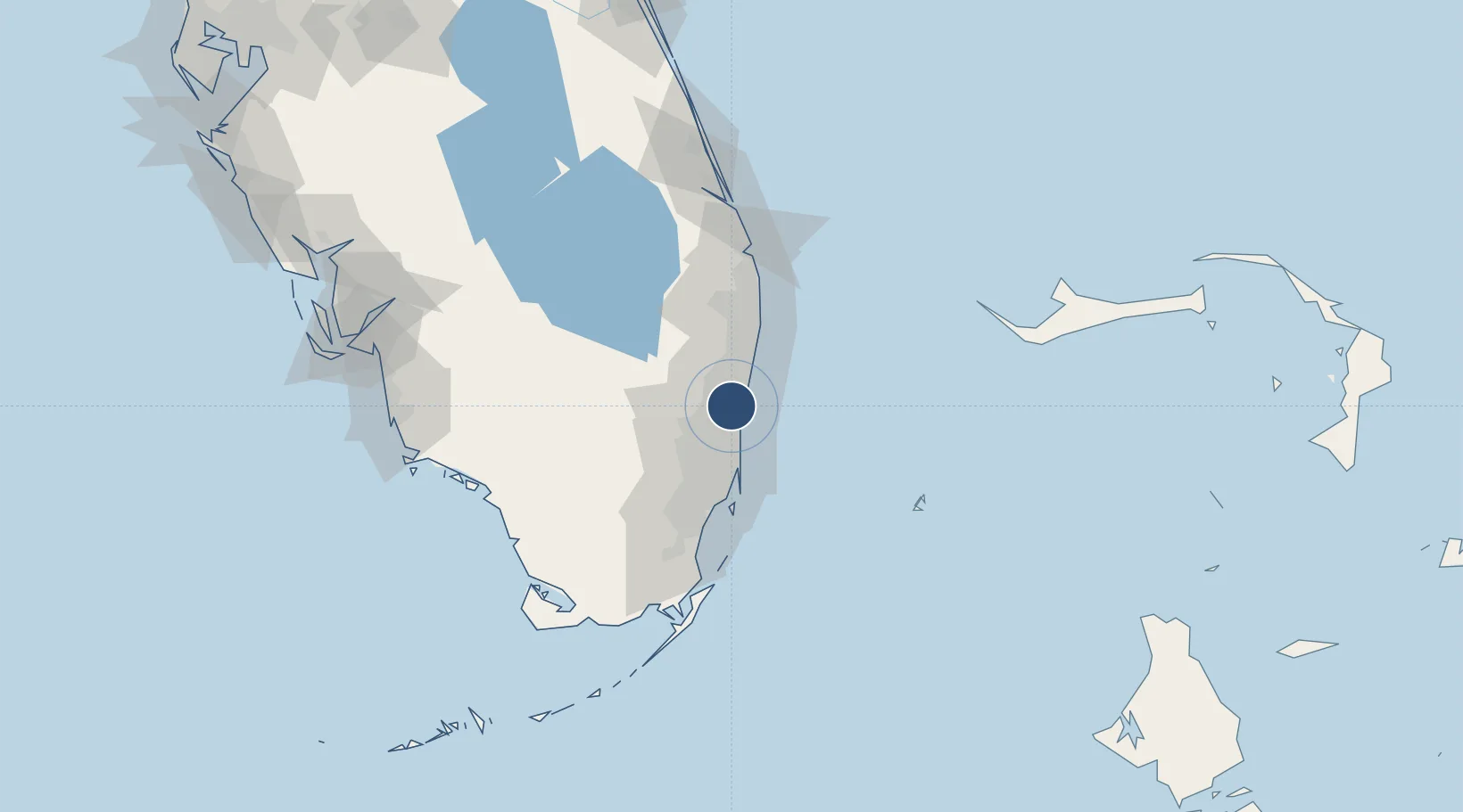
26.1973°, -80.1707°
6,002 ft
Longest runway
2
Runways
13 ft
Elevation

Runway & Layout

Fort Lauderdale Executive Airport runway & taxiway layout
Runway & taxiway layout — OpenStreetMap (ODbL) / OurAirports

Radio Frequencies

ATIS
119.85 MHz
TWR
120.9 MHz
EXECUTIVE TWR
GND
121.75 MHz
EXECUTIVE GND
CLD
127.95 MHz
CLNC DEL
A/D
119.7 MHz
MIAMI APP/DEP
UNIC
122.95 MHz
UNICOM
OurAirports

Runways · 2

RunwayDimensions SurfaceTrue headingLit
09/27 6,002 × 100ft Asphalt 084°
13/31 4,000 × 100ft Asphalt 129°
OurAirports

Airport Specifications

IATA code
FXE
OurAirports
ICAO code
KFXE
OurAirports
Airport class
Medium airport
OurAirports
Scheduled service
No
OurAirports
Runway surface
Asphalt
OurAirports
Served city
Fort Lauderdale
OurAirports

Location

Location of KFXE
Natural Earth 10m (public domain) · Florida · KFXE · 26.20, -80.17GoogleOSMYandex

Nearby Logistics Neighbours

Airports
  1. 1Fort Lauderdale Hollywood International Airport14 km
  2. 2Boca Raton Airport21 km
  3. 3North Perry Airport23 km
  4. 4Miami-Opa Locka Executive Airport34 km
  5. 5Miami International Airport46 km
Nearest neighbours — logibook spatial index (haversine) over the source coordinates
Cities
  1. 1Oakland Park, Broward4 km
  2. 2Lauderdale Lakes6 km
  3. 3Tamarac8 km
  4. 4Plantation11 km
  5. 5Lighthouse Point12 km
Nearest neighbours — logibook spatial index (haversine) over the source coordinates
Ports
  1. 1Port Everglades12 km
  2. 2Miami46 km
  3. 3Palm Beach64 km
  4. 4Fort Pierce142 km
  5. 5Freeport143 km
Nearest neighbours — logibook spatial index (haversine) over the source coordinates
Trade Zones
  1. 1FTZ No. 241 Fort Lauderdale1 km
  2. 2FTZ No. 025 Broward County14 km
  3. 3FTZ No. 180 Miami (Wynwood)44 km
  4. 4FTZ No. 032 Miami47 km
  5. 5FTZ No. 135 Palm Beach County65 km
Nearest neighbours — logibook spatial index (haversine) over the source coordinates
DatabookThe Record of Consolidated Knowledge
United States beyond logistics?
Browse databook

All Sources

AirportsOurAirports
Public domain
Portsthe NGA World Port Index
Public domain (US gov)
LocationsUN/LOCODE
UN/LOCODE — free
Trade Zonesthe World Bank SEZ database
CC BY 4.0
Trade ZonesOpen Zone Map
CC BY
InfrastructureOpenStreetMap
ODbL 1.0
← United States airports