UN/LOCODE hub · United States
USPEF
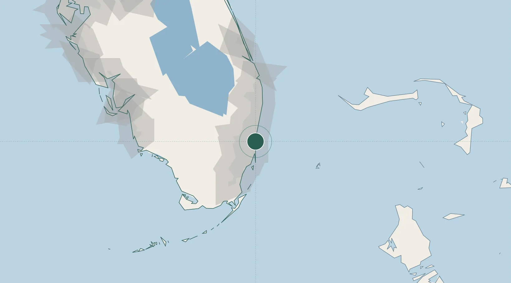
Port Everglades
26.0666°, -80.1288°
3
Transport functions
4
Container terminals
Transport Functions
Port
Road
Airport
Hub Profile
Place type
Populated place
Region
Florida
Time zone
America/New_York
Elevation
1 m
Logistics facilities
16
Container terminals
4
Location
Nearby Logistics Neighbours
Cities
- 1Port Laudania2 km
- 2Fort Lauderdale3 km
- 3Pembroke Park10 km
- 4Lauderdale Lakes12 km
- 5Oakland Park, Broward13 km
Ports
- 1Miami32 km
- 2Palm Beach78 km
- 3Freeport143 km
- 4Fort Pierce157 km
- 5South Riding Point200 km
Airports
Trade Zones
DatabookThe Record of Consolidated Knowledge
United States beyond logistics?