Seaport · United States
MiamiUSMIA
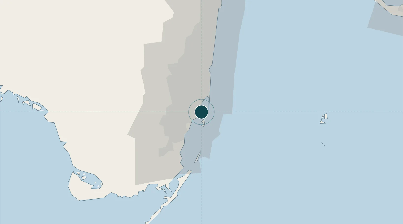
25.7833°, -80.1833°
12.5 m
Channel depth
3
Container terminals
196.3
Port liner connectivity
Channel & Berth Profile
Pilotage, Tugs & Services
Pilotage compulsoryYES
Tug assistanceYES
Salvage tugsYES
Shore powerYES
Potable waterYES
Diesel bunkersYES
MedicalYES
Garbage disposalYES
Facilities & Capabilities
Container—
Ro-Ro—
Liquid bulk—
Dry bulk—
Oil terminal—
Break bulk—
Dry dockNO
RepairsNO
BunkeringYES
Rail linkYES
Dangerous cargo—
ISPS security—
Harbour Specifications
Harbour size
Small
Harbour type
Coastal (Natural)
Shelter
Excellent
Water body
North Atlantic Ocean
Tidal range
0.9 m
Pilotage
Yes
Liner Connectivity
196.3
PLSCI
Port Liner Shipping Connectivity Index for Miami, as published by UNCTAD for the latest available quarter. Higher values indicate stronger scheduled liner-shipping integration.
Shown relative to the highest per-port PLSCI in the dataset (1,657.9).
Location
Container Terminals · 3
PORT OF MIAMI TERMINAL (POMTOC)
POM PORT OF MIAMI TERMINAL OPERATING COMPANY LLC (POMTOC)
SEABOARD MARINE TERMINAL
SML SEABOARD MARINE, LTD.
SOUTH FLORIDA CONTAINER TERMINAL (SFCT)
SOU SOUTH FLORIDA CONTAINER TERMINAL LLC (SFCT)
Nearby Logistics Neighbours
Ports
- 1Port Everglades36 km
- 2Palm Beach110 km
- 3Freeport162 km
- 4Fort Pierce188 km
- 5Key West214 km
Cities
- 1Miami River2 km
- 2Miami Beach5 km
- 3Fisher Island, Miami5 km
- 4North Bay Village7 km
- 5Miami Shores7 km
Airports
Trade Zones
DatabookThe Record of Consolidated Knowledge
United States beyond logistics?