Medium airport · United States

North Perry AirportKHWO
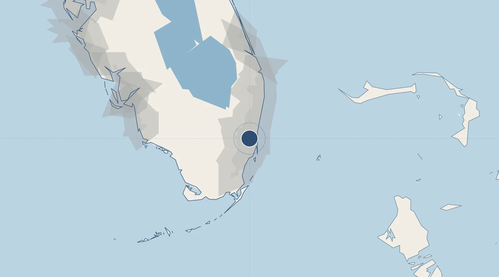
26.0012°, -80.2407°
3,463 ft
Longest runway
4
Runways
8 ft
Elevation

Runway & Layout

North Perry Airport runway & taxiway layout
Runway & taxiway layout — OpenStreetMap (ODbL) / OurAirports

Radio Frequencies

ATIS
135.475 MHz
TWR
132.1 MHz
GND
120.45 MHz
CTAF
132.1 MHz
A/D
128.6 MHz
MIAMI APP/DEP
UNIC
122.95 MHz
UNICOM
OurAirports

Runways · 4

RunwayDimensions SurfaceTrue headingLit
10R/28L 3,463 × 100ft Asphalt 100°
19L/01R 3,260 × 100ft Asphalt 190°
10L/28R 3,241 × 100ft Asphalt 100°
19R/01L 3,000 × 100ft Asphalt 190°
OurAirports

Airport Specifications

IATA code
HWO
OurAirports
ICAO code
KHWO
OurAirports
Airport class
Medium airport
OurAirports
Scheduled service
No
OurAirports
Runway surface
Asphalt
OurAirports
Served city
Hollywood
OurAirports

Location

Location of KHWO
Natural Earth 10m (public domain) · Florida · KHWO · 26.00, -80.24GoogleOSMYandex

Nearby Logistics Neighbours

Airports
  1. 1Miami-Opa Locka Executive Airport11 km
  2. 2Fort Lauderdale Hollywood International Airport12 km
  3. 3Fort Lauderdale Executive Airport23 km
  4. 4Miami International Airport23 km
  5. 5Miami Executive Airport44 km
Nearest neighbours — logibook spatial index (haversine) over the source coordinates
Cities
  1. 1Miami Gardens6 km
  2. 2Pembroke Park8 km
  3. 3Carol City8 km
  4. 4North Miami Beach13 km
  5. 5Port Everglades13 km
Nearest neighbours — logibook spatial index (haversine) over the source coordinates
Ports
  1. 1Port Everglades17 km
  2. 2Miami25 km
  3. 3Palm Beach87 km
  4. 4Freeport156 km
  5. 5Fort Pierce163 km
Nearest neighbours — logibook spatial index (haversine) over the source coordinates
Trade Zones
  1. 1FTZ No. 025 Broward County15 km
  2. 2FTZ No. 180 Miami (Wynwood)22 km
  3. 3FTZ No. 241 Fort Lauderdale23 km
  4. 4FTZ No. 032 Miami24 km
  5. 5FTZ No. 281 Miami-Dade County70 km
Nearest neighbours — logibook spatial index (haversine) over the source coordinates
DatabookThe Record of Consolidated Knowledge
United States beyond logistics?
Browse databook

All Sources

AirportsOurAirports
Public domain
Portsthe NGA World Port Index
Public domain (US gov)
LocationsUN/LOCODE
UN/LOCODE — free
Trade Zonesthe World Bank SEZ database
CC BY 4.0
Trade ZonesOpen Zone Map
CC BY
InfrastructureOpenStreetMap
ODbL 1.0
← United States airports