Foreign Trade Zone · United States

FTZ No. 135 Palm Beach County Active
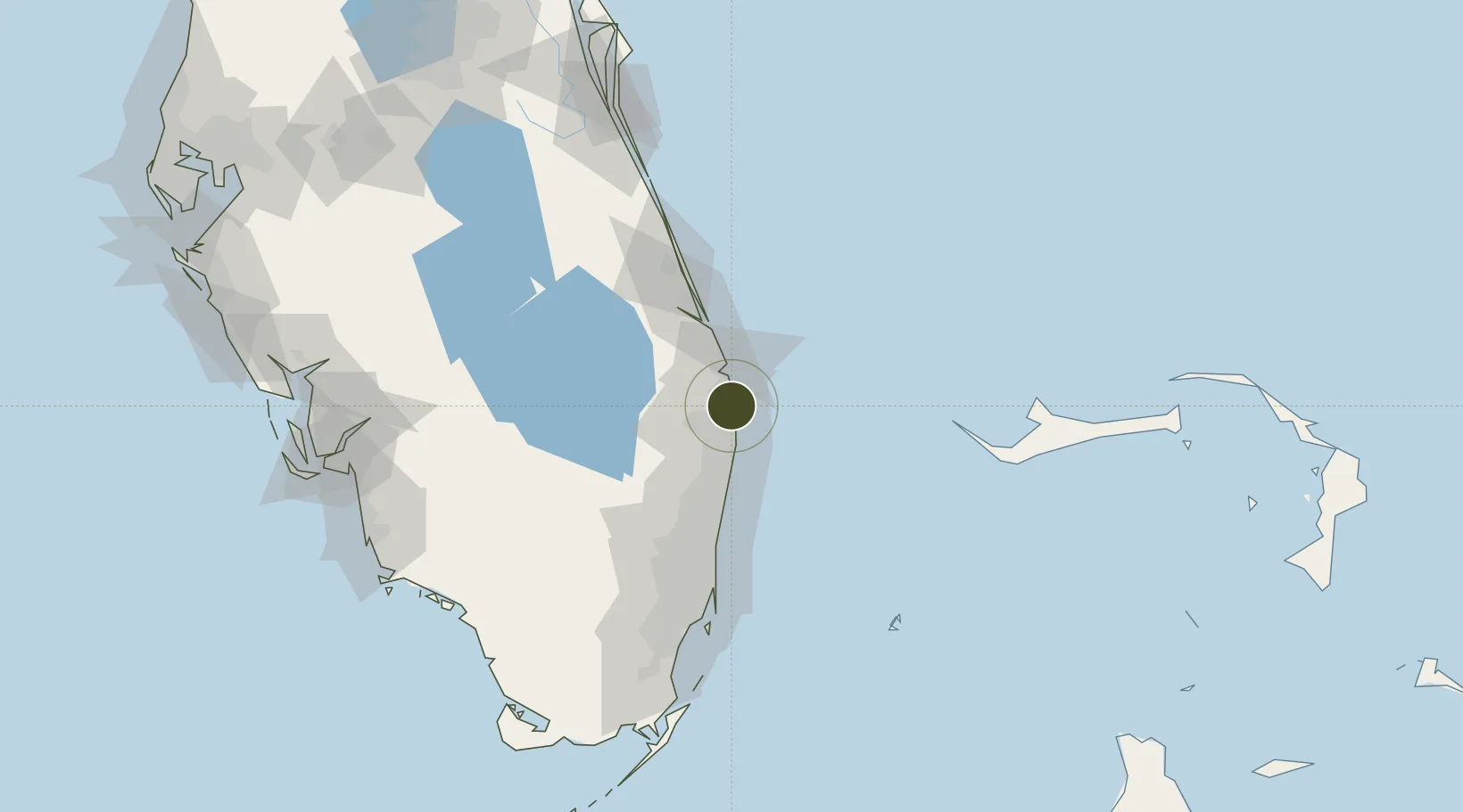
26.7708°, -80.0540°
0.6 km
Nearest port
10.6 km
Nearest airport

Gateway access

Nearest neighbours — logibook spatial index (haversine) over the source coordinates

Zone profile

Zone type
Foreign Trade Zone
Open Zone Map
Region
Florida
Open Zone Map
Status
Active
Open Zone Map
Management
Public
Open Zone Map
Operator
Port of Palm Beach District
Open Zone Map
Legal framework
Foreign-Trade Zones Act
Open Zone Map

Location

Location of ozm-4744
Natural Earth 10m (public domain) · Florida · ozm-4744 · 26.77, -80.05GoogleOSMYandex

Nearby Logistics Neighbours

Ports
  1. 1Palm Beach1 km
  2. 2Port Everglades75 km
  3. 3Fort Pierce82 km
  4. 4Miami111 km
  5. 5Freeport129 km
Nearest neighbours — logibook spatial index (haversine) over the source coordinates
Airports
  1. 1Palm Beach International Airport11 km
  2. 2Boca Raton Airport44 km
  3. 3Fort Lauderdale Executive Airport65 km
  4. 4Fort Lauderdale Hollywood International Airport78 km
  5. 5Treasure Coast International Airport86 km
Nearest neighbours — logibook spatial index (haversine) over the source coordinates
Cities
  1. 1Lake Park4 km
  2. 2Palm Beach Gardens9 km
  3. 3Royal Palm Beach18 km
  4. 4Greenacres19 km
  5. 5Pembroke Pines24 km
Nearest neighbours — logibook spatial index (haversine) over the source coordinates
Trade Zones
  1. 1FTZ No. 241 Fort Lauderdale65 km
  2. 2FTZ No. 025 Broward County77 km
  3. 3FTZ No. 218 St. Lucie County84 km
  4. 4FTZ No. 180 Miami (Wynwood)109 km
  5. 5FTZ No. 032 Miami112 km
Nearest neighbours — logibook spatial index (haversine) over the source coordinates
DatabookThe Record of Consolidated Knowledge
United States beyond logistics?
Browse databook

All Sources

Trade ZonesOpen Zone Map
CC BY
Portsthe NGA World Port Index
Public domain (US gov)
AirportsOurAirports
Public domain
LocationsUN/LOCODE
UN/LOCODE — free
← United States trade zones