Seaport · United States
Canaveral HarborUSPCV
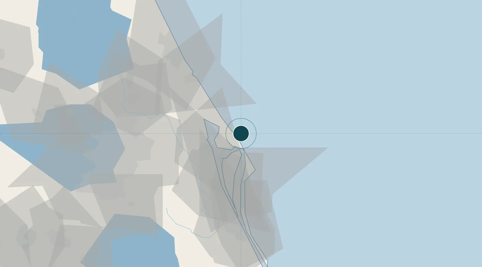
28.7000°, -80.6167°
12.5 m
Channel depth
1
Container terminals
22.3
Port liner connectivity
Channel & Berth Profile
Pilotage, Tugs & Services
Pilotage compulsoryYES
Tug assistanceYES
Potable waterYES
Diesel bunkersYES
MedicalYES
Garbage disposalYES
Facilities & Capabilities
Container—
Ro-Ro—
Liquid bulk—
Dry bulk—
Oil terminal—
Break bulk—
Dry dock—
Repairs—
BunkeringYES
Rail linkYES
Dangerous cargo—
ISPS security—
Harbour Specifications
Harbour size
Very Small
Harbour type
Coastal (Natural)
Shelter
Excellent
Water body
North Atlantic Ocean
Tidal range
1.2 m
Pilotage
Yes
Liner Connectivity
22.3
PLSCI
Port Liner Shipping Connectivity Index for Canaveral Harbor, as published by UNCTAD for the latest available quarter. Higher values indicate stronger scheduled liner-shipping integration.
Shown relative to the highest per-port PLSCI in the dataset (1,657.9).
Location
Container Terminals · 1
CANAVERAL CARGO TERMINAL
CCT GULFTAINER USA
Nearby Logistics Neighbours
Ports
- 1Fort Pierce140 km
- 2St Augustine150 km
- 3Tampa200 km
- 4Mayport205 km
- 5Jacksonville206 km
Cities
- 1John F Kennedy Space Center/Cape Canaveral9 km
- 2Mims23 km
- 3Indian River City23 km
- 4Cocoa Beach43 km
- 5New Smyrna Beach48 km
Airports
Trade Zones
DatabookThe Record of Consolidated Knowledge
United States beyond logistics?