Transport Functions
Port
Rail
Road
Multimodal
Hub Profile
Place type
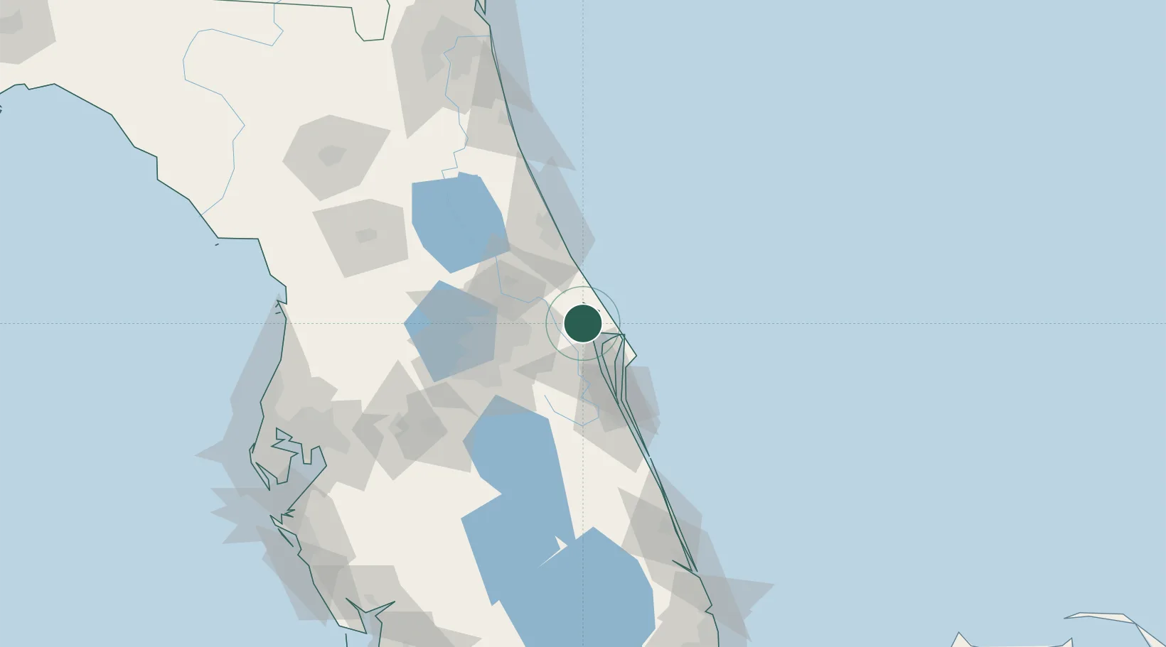
Populated place
Region
Florida
Population
7,058
Time zone
America/New_York
Elevation
10 m
Location
Nearby Logistics Neighbours
Cities
- 1Indian River City12 km
- 2John F Kennedy Space Center/Cape Canaveral15 km
- 3Geneva27 km
- 4Oviedo34 km
- 5Port Canaveral37 km
Ports
- 1Canaveral Harbor23 km
- 2Fort Pierce143 km
- 3St Augustine144 km
- 4Tampa178 km
- 5Tarpon Springs196 km
Airports
Trade Zones
DatabookThe Record of Consolidated Knowledge
United States beyond logistics?