UN/LOCODE hub · United States
USC2B
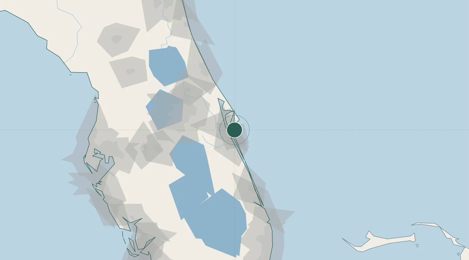
Cocoa Beach
28.3167°, -80.6000°
11,595
Population
2
Transport functions
Transport Functions
Rail
Road
Hub Profile
Place type
Populated place
Region
Florida
Population
11,595
Time zone
America/New_York
Elevation
0 m
Location
Nearby Logistics Neighbours
Cities
- 1Port Canaveral10 km
- 2Indian Harbour Beach21 km
- 3Indialantic26 km
- 4Indian River City34 km
- 5Malabar35 km
Ports
- 1Canaveral Harbor43 km
- 2Fort Pierce99 km
- 3Palm Beach181 km
- 4Tampa187 km
- 5St Augustine189 km
Airports
Trade Zones
- 1FTZ No. 136 Brevard County63 km
- 2FTZ No. 250 Seminole County89 km
- 3FTZ No. 042 Orlando91 km
- 4FTZ No. 218 St. Lucie County104 km
- 5FTZ No. 198 Volusia County114 km
DatabookThe Record of Consolidated Knowledge
United States beyond logistics?