UN/LOCODE hub · United States
USPCV
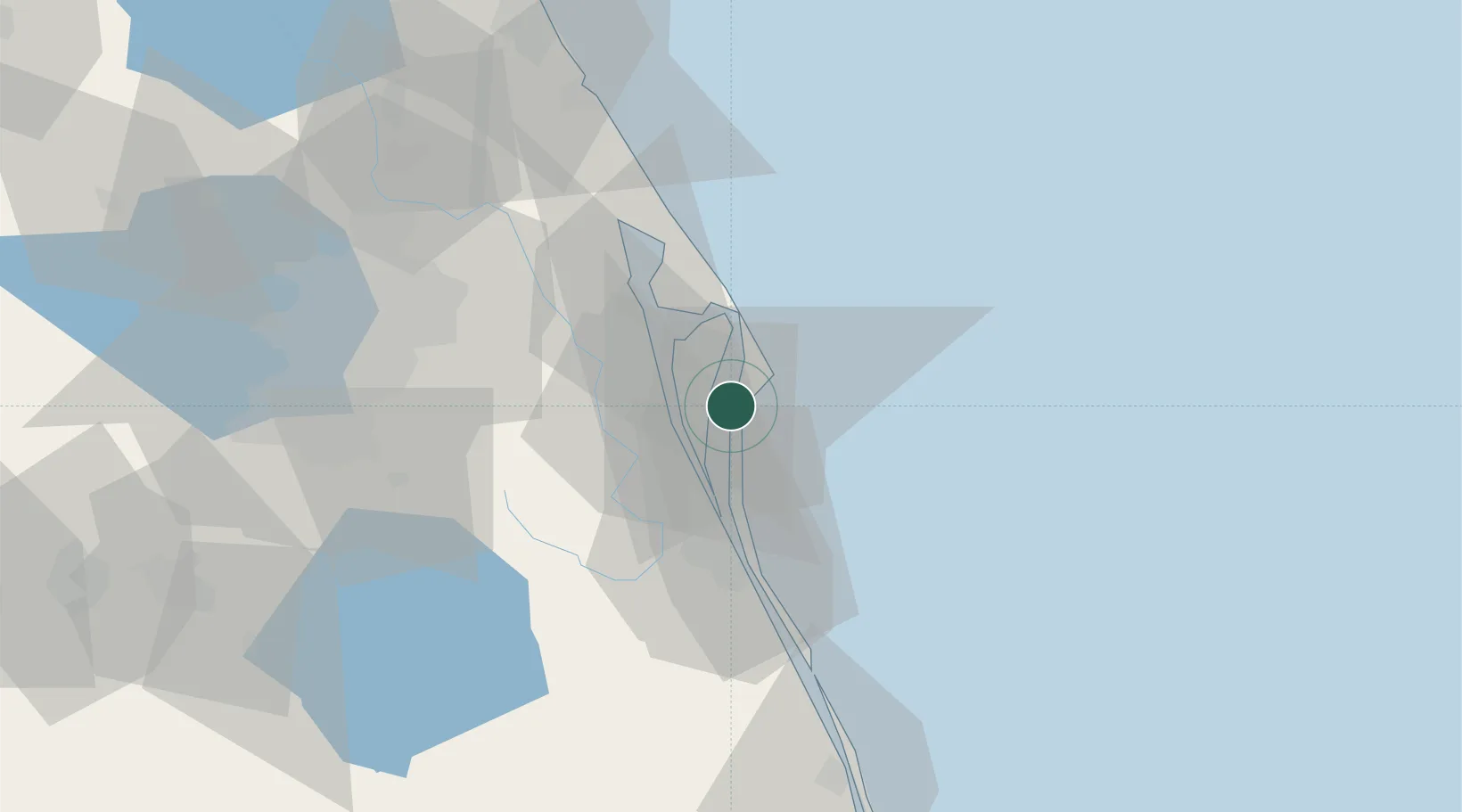
Port Canaveral
28.4083°, -80.6159°
1
Transport functions
1
Container terminals
Transport Functions
Port
Hub Profile
Region
FL
Logistics facilities
2
Container terminals
1
Location
Nearby Logistics Neighbours
Cities
- 1Cocoa Beach10 km
- 2Indian River City25 km
- 3John F Kennedy Space Center/Cape Canaveral30 km
- 4Indian Harbour Beach31 km
- 5Indialantic37 km
Ports
- 1Fort Pierce109 km
- 2St Augustine179 km
- 3Tampa188 km
- 4Palm Beach191 km
- 5Sankt-Peterburg209 km
Airports
Trade Zones
- 1FTZ No. 136 Brevard County63 km
- 2FTZ No. 250 Seminole County82 km
- 3FTZ No. 042 Orlando88 km
- 4FTZ No. 198 Volusia County106 km
- 5FTZ No. 218 St. Lucie County114 km
DatabookThe Record of Consolidated Knowledge
United States beyond logistics?