Medium airport · United States

Space Florida Launch and Landing FacilityKTTS
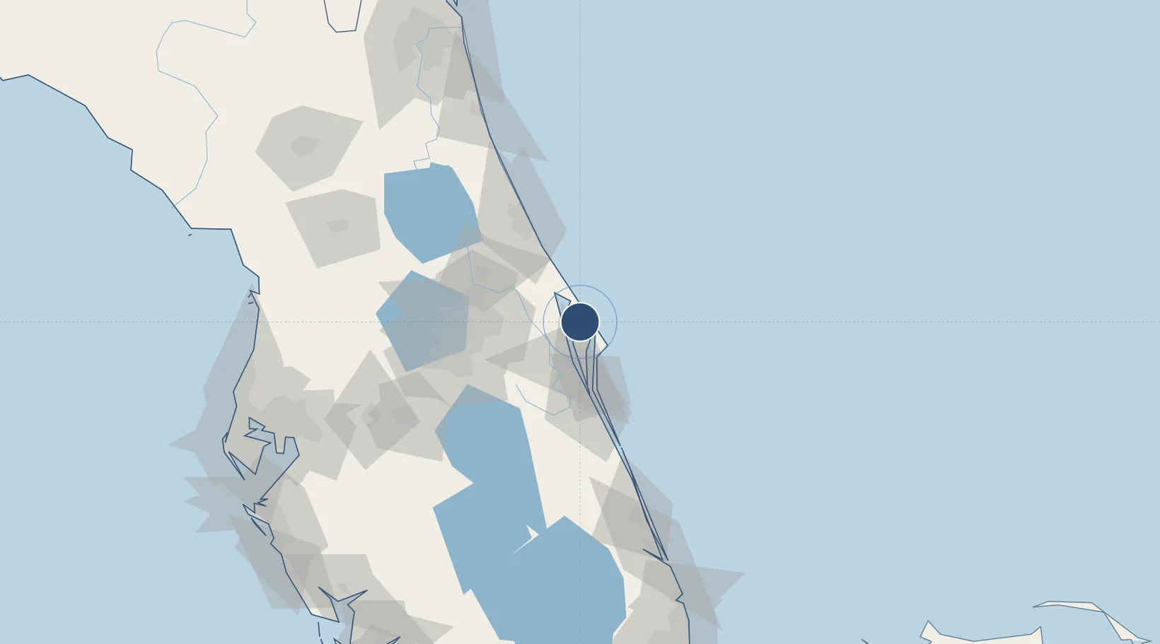
28.6150°, -80.6945°
15,001 ft
Longest runway
1
Runways
10 ft
Elevation

Runway & Layout

Space Florida Launch and Landing Facility runway & taxiway layout
Runway & taxiway layout — OpenStreetMap (ODbL) / OurAirports

Radio Frequencies

TWR
128.55 MHz
GND
121.75 MHz
CTAF
123.6 MHz
A/D
134.95 MHz
ORLANDO APP/DEP
PMSV
34.46 MHz
PMSV METRO
OurAirports

Runways · 1

RunwayDimensions SurfaceTrue headingLit
15/33 15,001 × 300ft Concrete 150°
OurAirports

Airport Specifications

ICAO code
KTTS
OurAirports
Airport class
Medium airport
OurAirports
Scheduled service
No
OurAirports
Runway surface
Concrete
OurAirports
Served city
Titusville
OurAirports

Location

Location of KTTS
Natural Earth 10m (public domain) · Florida · KTTS · 28.61, -80.69GoogleOSMYandex

Nearby Logistics Neighbours

Airports
  1. 1Space Coast Regional Airport15 km
  2. 2Cape Canaveral SFS Skid Strip21 km
  3. 3Patrick Space Force Base43 km
  4. 4Orlando Sanford International Airport56 km
  5. 5Melbourne Orlando International Airport57 km
Nearest neighbours — logibook spatial index (haversine) over the source coordinates
Cities
  1. 1John F Kennedy Space Center/Cape Canaveral6 km
  2. 2Indian River City12 km
  3. 3Mims16 km
  4. 4Port Canaveral24 km
  5. 5Cocoa Beach34 km
Nearest neighbours — logibook spatial index (haversine) over the source coordinates
Ports
  1. 1Canaveral Harbor12 km
  2. 2Fort Pierce133 km
  3. 3St Augustine155 km
  4. 4Tampa189 km
  5. 5Tarpon Springs209 km
Nearest neighbours — logibook spatial index (haversine) over the source coordinates
Trade Zones
  1. 1FTZ No. 136 Brevard County64 km
  2. 2FTZ No. 250 Seminole County67 km
  3. 3FTZ No. 042 Orlando81 km
  4. 4FTZ No. 198 Volusia County87 km
  5. 5FTZ No. 218 St. Lucie County138 km
Nearest neighbours — logibook spatial index (haversine) over the source coordinates
DatabookThe Record of Consolidated Knowledge
United States beyond logistics?
Browse databook

All Sources

AirportsOurAirports
Public domain
Portsthe NGA World Port Index
Public domain (US gov)
LocationsUN/LOCODE
UN/LOCODE — free
Trade Zonesthe World Bank SEZ database
CC BY 4.0
Trade ZonesOpen Zone Map
CC BY
InfrastructureOpenStreetMap
ODbL 1.0
← United States airports