Foreign Trade Zone · United States

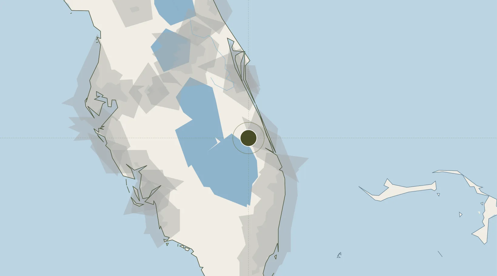
FTZ No. 218 St. Lucie County Active

27.3821°, -80.5491°
642 ha
Zone area
24.8 km
Nearest port
21.8 km
Nearest airport

Gateway access

Nearest neighbours — logibook spatial index (haversine) over the source coordinates

Zone profile

Zone type
Foreign Trade Zone
Open Zone Map
Region
Florida
Open Zone Map
Status
Active
Open Zone Map
Management
Public
Open Zone Map
Operator
Treasure Coast Foreign Trade Zone, Inc.
Open Zone Map
Legal framework
Foreign-Trade Zones Act
Open Zone Map

Location

Location of ozm-4721
Natural Earth 10m (public domain) · Florida · ozm-4721 · 27.38, -80.55GoogleOSMYandex

Nearby Logistics Neighbours

Ports
  1. 1Fort Pierce25 km
  2. 2Palm Beach84 km
  3. 3Canaveral Harbor147 km
  4. 4Port Everglades149 km
  5. 5Miami182 km
Nearest neighbours — logibook spatial index (haversine) over the source coordinates
Airports
  1. 1Treasure Coast International Airport22 km
  2. 2Vero Beach Regional Airport33 km
  3. 3Melbourne Orlando International Airport81 km
  4. 4Palm Beach International Airport90 km
  5. 5Patrick Space Force Base95 km
Nearest neighbours — logibook spatial index (haversine) over the source coordinates
Cities
  1. 1Fort Pierce18 km
  2. 2Saint Lucie24 km
  3. 3Palm City38 km
  4. 4Fellsmere43 km
  5. 5Malabar69 km
Nearest neighbours — logibook spatial index (haversine) over the source coordinates
Trade Zones
  1. 1FTZ No. 135 Palm Beach County84 km
  2. 2FTZ No. 215 Sebring97 km
  3. 3FTZ No. 136 Brevard County124 km
  4. 4FTZ No. 241 Fort Lauderdale137 km
  5. 5FTZ No. 025 Broward County151 km
Nearest neighbours — logibook spatial index (haversine) over the source coordinates
DatabookThe Record of Consolidated Knowledge
United States beyond logistics?
Browse databook

All Sources

Trade ZonesOpen Zone Map
CC BY
Portsthe NGA World Port Index
Public domain (US gov)
AirportsOurAirports
Public domain
LocationsUN/LOCODE
UN/LOCODE — free
← United States trade zones