Medium airport · United States

Patrick Space Force BaseKCOF

28.2349°, -80.6101°
9,008 ft
Longest runway
2
Runways
8 ft
Elevation

Runway & Layout

Patrick Space Force Base runway & taxiway layout
Runway & taxiway layout — OpenStreetMap (ODbL) / OurAirports

Radio Frequencies

ATIS
119.175 MHz
TWR
133.75 MHz
GND
124.35 MHz
CLD
118.4 MHz
CLNC DEL
A/D
132.65 MHz
ORLANDO APP/DEP
OPS
138.475 MHz
RESCUE OPS
OPS
150.35 MHz
KING OPS
OPS
311 MHz
BEACH OPS
PMSV
344.6 MHz
PMSV METRO
PTD
139.3 MHz
OurAirports

Navaids

COF TACAN Patrick 115.00 MHz
OurAirports

Runways · 2

RunwayDimensions SurfaceTrue headingLit
03/21 9,008 × 200ft Asphalt 020°
11/29 3,993 × 200ft Asphalt 106°
OurAirports

Airport Specifications

IATA code
COF
OurAirports
ICAO code
KCOF
OurAirports
Airport class
Medium airport
OurAirports
Scheduled service
No
OurAirports
Runway surface
Asphalt
OurAirports
Served city
Cocoa Beach
OurAirports

Location

Location of KCOF
Natural Earth 10m (public domain) · Florida · KCOF · 28.23, -80.61GoogleOSMYandex

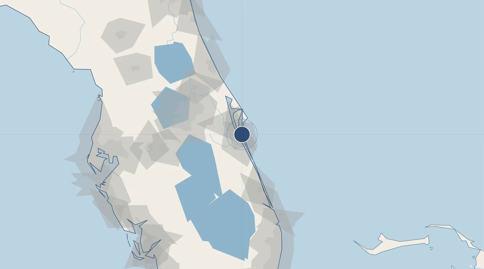
Nearby Logistics Neighbours

Airports
  1. 1Melbourne Orlando International Airport15 km
  2. 2Cape Canaveral SFS Skid Strip26 km
  3. 3Space Coast Regional Airport36 km
  4. 4Space Florida Launch and Landing Facility43 km
  5. 5Vero Beach Regional Airport67 km
Nearest neighbours — logibook spatial index (haversine) over the source coordinates
Cities
  1. 1Cocoa Beach9 km
  2. 2Indian Harbour Beach12 km
  3. 3Indialantic17 km
  4. 4Port Canaveral19 km
  5. 5Malabar27 km
Nearest neighbours — logibook spatial index (haversine) over the source coordinates
Ports
  1. 1Canaveral Harbor52 km
  2. 2Fort Pierce90 km
  3. 3Palm Beach172 km
  4. 4Tampa184 km
  5. 5St Augustine198 km
Nearest neighbours — logibook spatial index (haversine) over the source coordinates
Trade Zones
  1. 1FTZ No. 136 Brevard County63 km
  2. 2FTZ No. 042 Orlando92 km
  3. 3FTZ No. 250 Seminole County93 km
  4. 4FTZ No. 218 St. Lucie County95 km
  5. 5FTZ No. 198 Volusia County120 km
Nearest neighbours — logibook spatial index (haversine) over the source coordinates
DatabookThe Record of Consolidated Knowledge
United States beyond logistics?
Browse databook

All Sources

AirportsOurAirports
Public domain
Portsthe NGA World Port Index
Public domain (US gov)
LocationsUN/LOCODE
UN/LOCODE — free
Trade Zonesthe World Bank SEZ database
CC BY 4.0
Trade ZonesOpen Zone Map
CC BY
InfrastructureOpenStreetMap
ODbL 1.0
← United States airports