Medium airport · United States

Cape Canaveral SFS Skid StripKXMR
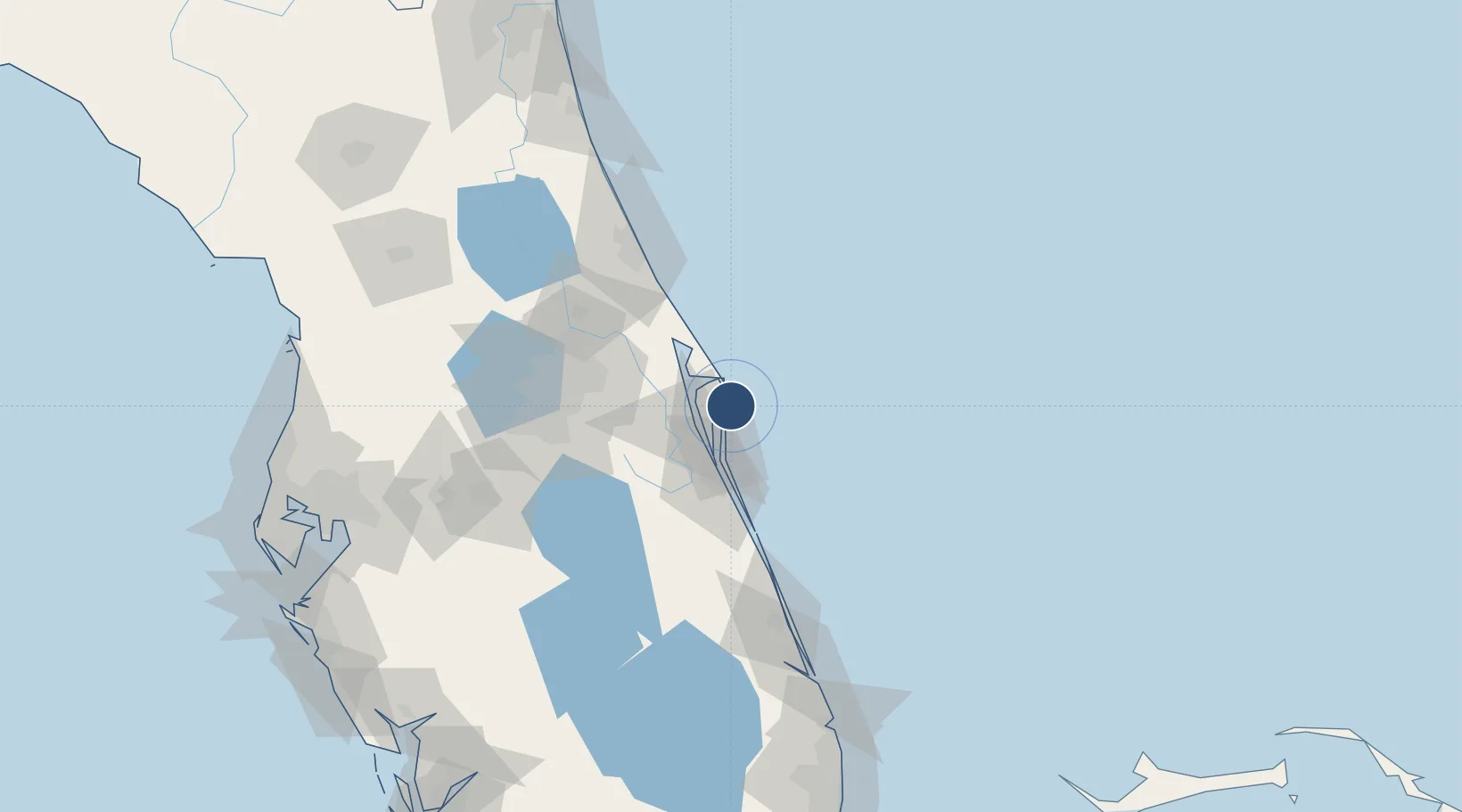
28.4676°, -80.5666°
9,999 ft
Longest runway
1
Runways
10 ft
Elevation

Runway & Layout

Cape Canaveral SFS Skid Strip runway & taxiway layout
Runway & taxiway layout — OpenStreetMap (ODbL) / OurAirports

Radio Frequencies

TWR
118.625 MHz
CAPE TWR
TWR
239.05 MHz
A/D
134.95 MHz
ORLANDO APP/DEP
PMSV
344.6 MHz
PMSV METRO
OurAirports

Runways · 1

RunwayDimensions SurfaceTrue headingLit
13/31 9,999 × 200ft Asphalt 128°
OurAirports

Airport Specifications

ICAO code
KXMR
OurAirports
Airport class
Medium airport
OurAirports
Scheduled service
No
OurAirports
Runway surface
Asphalt
OurAirports
Served city
Cocoa Beach
OurAirports

Location

Location of KXMR
Natural Earth 10m (public domain) · Florida · KXMR · 28.47, -80.57GoogleOSMYandex

Nearby Logistics Neighbours

Airports
  1. 1Space Florida Launch and Landing Facility21 km
  2. 2Space Coast Regional Airport23 km
  3. 3Patrick Space Force Base26 km
  4. 4Melbourne Orlando International Airport41 km
  5. 5Orlando International Airport73 km
Nearest neighbours — logibook spatial index (haversine) over the source coordinates
Cities
  1. 1Port Canaveral8 km
  2. 2Cocoa Beach17 km
  3. 3Indian River City25 km
  4. 4John F Kennedy Space Center/Cape Canaveral26 km
  5. 5Mims35 km
Nearest neighbours — logibook spatial index (haversine) over the source coordinates
Ports
  1. 1Canaveral Harbor26 km
  2. 2Fort Pierce114 km
  3. 3St Augustine175 km
  4. 4Tampa195 km
  5. 5Palm Beach196 km
Nearest neighbours — logibook spatial index (haversine) over the source coordinates
Trade Zones
  1. 1FTZ No. 136 Brevard County69 km
  2. 2FTZ No. 250 Seminole County84 km
  3. 3FTZ No. 042 Orlando92 km
  4. 4FTZ No. 198 Volusia County106 km
  5. 5FTZ No. 218 St. Lucie County121 km
Nearest neighbours — logibook spatial index (haversine) over the source coordinates
DatabookThe Record of Consolidated Knowledge
United States beyond logistics?
Browse databook

All Sources

AirportsOurAirports
Public domain
Portsthe NGA World Port Index
Public domain (US gov)
LocationsUN/LOCODE
UN/LOCODE — free
Trade Zonesthe World Bank SEZ database
CC BY 4.0
Trade ZonesOpen Zone Map
CC BY
InfrastructureOpenStreetMap
ODbL 1.0
← United States airports