Large airport · United States
Orlando Sanford International AirportKSFB
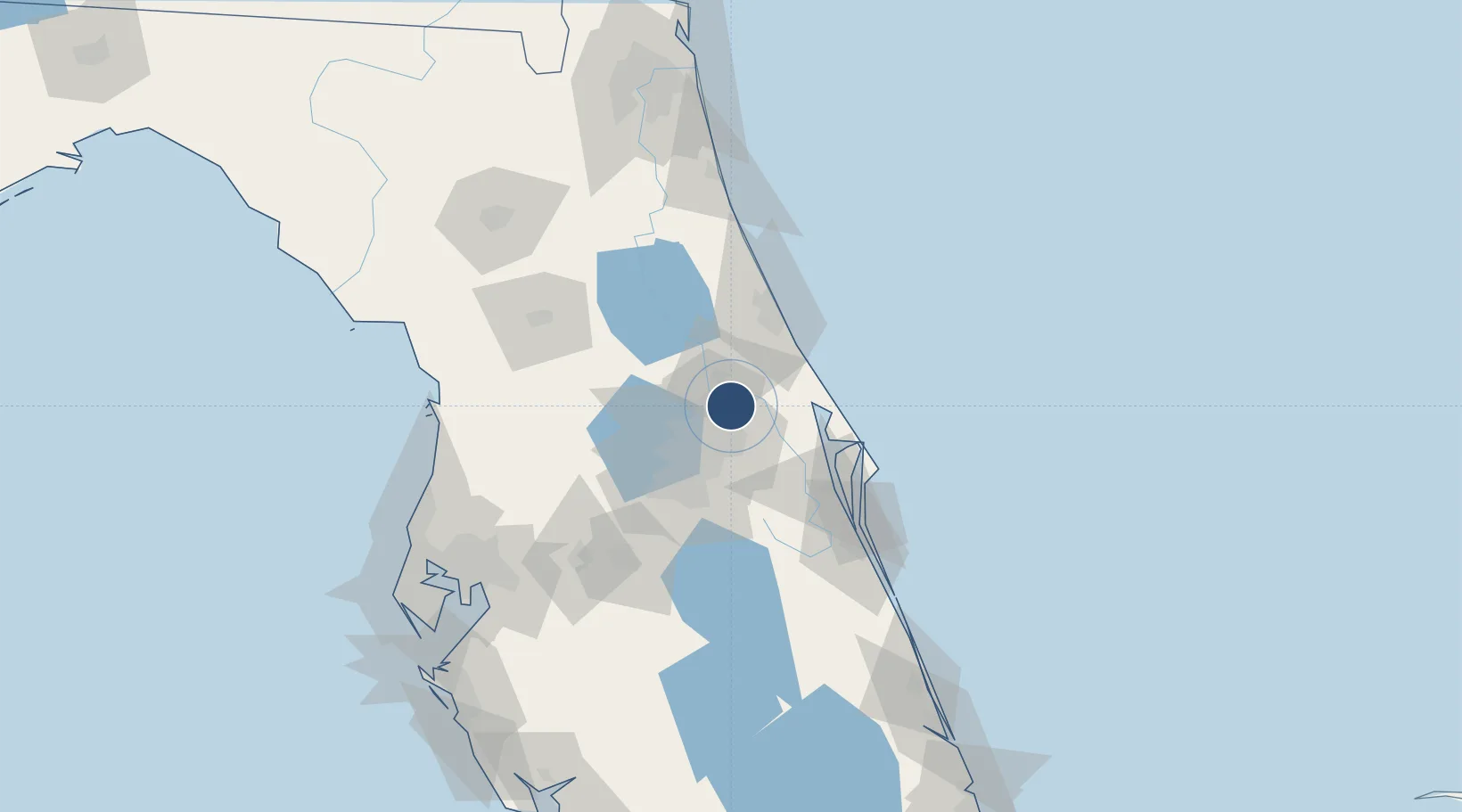
28.7743°, -81.2346°
11,002 ft
Longest runway
4
Runways
55 ft
Elevation
Runway & Layout

Radio Frequencies
ATIS
125.975 MHz
TWR
120.3 MHz
SANFORD TWR
GND
121.35 MHz
CLD
121.35 MHz
CLNC DEL
CTAF
120.3 MHz
A/D
119.775 MHz
APP/DEP
Navaids
SFB NDB Sanford 408 kHz
Runways · 4
| Runway | Dimensions | Surface | True heading | Lit |
|---|---|---|---|---|
| 09L/27R | 11,002 × 150ft | Asphalt | 090° | ✓ |
| 18/36 | 6,002 × 150ft | Asphalt / concrete | 180° | ✓ |
| 09R/27L | 5,839 × 75ft | Asphalt | 090° | ✓ |
| 09C/27C | 3,578 × 75ft | Asphalt | 090° | ✓ |
Airport Specifications
IATA code
SFB
ICAO code
KSFB
Airport class
Large airport
Scheduled service
Yes
Runway surface
Asphalt
Served city
Orlando
Location
Nearby Logistics Neighbours
Airports
Cities
- 1Winter Springs12 km
- 2Geneva12 km
- 3Oviedo12 km
- 4Casselberry14 km
- 5Orange City21 km
Ports
- 1Canaveral Harbor61 km
- 2St Augustine125 km
- 3Tampa152 km
- 4Tarpon Springs165 km
- 5Fort Pierce171 km
Trade Zones
- 1FTZ No. 250 Seminole County13 km
- 2FTZ No. 198 Volusia County35 km
- 3FTZ No. 042 Orlando42 km
- 4FTZ No. 136 Brevard County52 km
- 5FTZ No. 215 Sebring148 km
DatabookThe Record of Consolidated Knowledge
United States beyond logistics?