UN/LOCODE hub · United States
USNSB
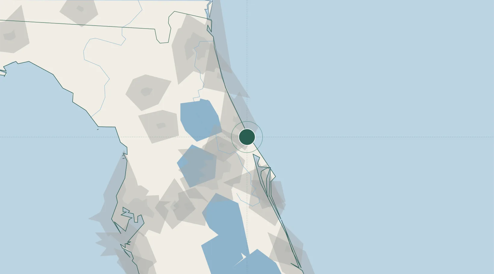
New Smyrna Beach
29.0333°, -80.9333°
24,298
Population
4
Transport functions
Transport Functions
Port
Rail
Road
Multimodal
Hub Profile
Place type
Populated place
Region
Florida
Population
24,298
Time zone
America/New_York
Elevation
2 m
Location
Nearby Logistics Neighbours
Cities
- 1Port Orange12 km
- 2Cutler Ridge34 km
- 3Orange City37 km
- 4Geneva38 km
- 5Mims42 km
Ports
- 1Canaveral Harbor48 km
- 2St Augustine103 km
- 3Jacksonville159 km
- 4Mayport160 km
- 5Fort Pierce184 km
Airports
Trade Zones
- 1FTZ No. 198 Volusia County51 km
- 2FTZ No. 250 Seminole County53 km
- 3FTZ No. 042 Orlando83 km
- 4FTZ No. 136 Brevard County87 km
- 5FTZ No. 064 Jacksonville177 km
DatabookThe Record of Consolidated Knowledge
United States beyond logistics?