UN/LOCODE hub · United States
USKDC

John F Kennedy Space Center/Cape Canaveral

28.6667°, -80.7000°
3
Transport functions

Transport Functions

Port
Rail
Road
UN/LOCODE

Hub Profile

Region
FL
GeoNames

Location

Location of USKDC
Natural Earth 10m (public domain) · FL · USKDC · 28.67, -80.70GoogleOSMYandex

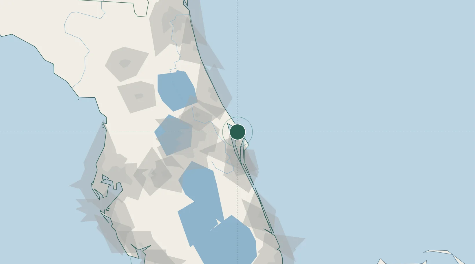
Nearby Logistics Neighbours

Cities
  1. 1Mims15 km
  2. 2Indian River City15 km
  3. 3Port Canaveral30 km
  4. 4Cocoa Beach40 km
  5. 5Geneva41 km
Nearest neighbours — logibook spatial index (haversine) over the source coordinates
Ports
  1. 1Canaveral Harbor9 km
  2. 2Fort Pierce139 km
  3. 3St Augustine150 km
  4. 4Tampa191 km
  5. 5Jacksonville205 km
Nearest neighbours — logibook spatial index (haversine) over the source coordinates
Airports
  1. 1Space Florida Launch and Landing Facility6 km
  2. 2Space Coast Regional Airport20 km
  3. 3Cape Canaveral SFS Skid Strip26 km
  4. 4Patrick Space Force Base49 km
  5. 5Orlando Sanford International Airport54 km
Nearest neighbours — logibook spatial index (haversine) over the source coordinates
Trade Zones
  1. 1FTZ No. 250 Seminole County65 km
  2. 2FTZ No. 136 Brevard County67 km
  3. 3FTZ No. 042 Orlando82 km
  4. 4FTZ No. 198 Volusia County83 km
  5. 5FTZ No. 218 St. Lucie County144 km
Nearest neighbours — logibook spatial index (haversine) over the source coordinates
DatabookThe Record of Consolidated Knowledge
United States beyond logistics?
Browse databook

All Sources

LocationsUN/LOCODE
UN/LOCODE — free
Portsthe NGA World Port Index
Public domain (US gov)
AirportsOurAirports
Public domain
Trade Zonesthe World Bank SEZ database
CC BY 4.0
Trade ZonesOpen Zone Map
CC BY
← United States locations